Urbex & Abandoned
Harting Beacon: a hilltop enclosure, Anglo-Saxon burial mound and telegraph station on Beacon and Pen Hills
Harting, United Kingdom
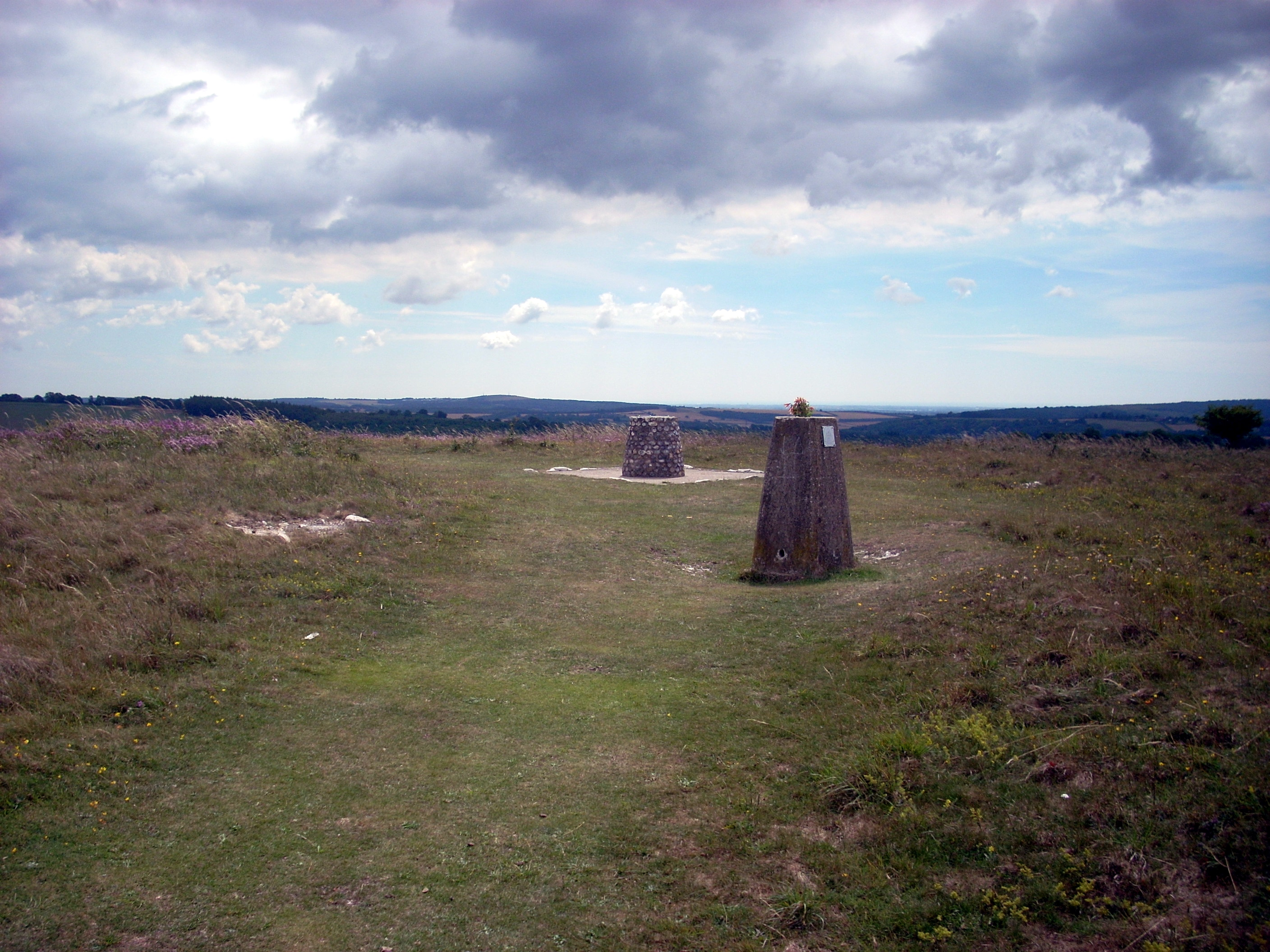
Beacon Hill, also known as Harting Beacon, is a hillfort on the South Downs, in the county of West Sussex in southern England. The hillfort is located in the parish of Elsted and Treyford, in Chichester District. It is a Scheduled Ancient Monument with a list entry identification number of 1015915.
- Category
- Urbex & Abandoned
- Location
- Harting, United Kingdom
- Coordinates
- 50.95820, -0.85230
- How to get there
- Google MapsApple MapsOpenStreetMap
- Wikidata
- Q17675643
What is Harting Beacon: a hilltop enclosure, Anglo-Saxon burial mound and telegraph station on Beacon and Pen Hills?
Harting Beacon: a hilltop enclosure, Anglo-Saxon burial mound and telegraph station on Beacon and Pen Hills is a Urbex & Abandoned place on VeroMaps. Other places close by: Cocking Lime Works, Devil's Humps, equestrian statue of William III, Kingley Vale National Nature Reserve.
Where is Harting Beacon: a hilltop enclosure, Anglo-Saxon burial mound and telegraph station on Beacon and Pen Hills?
Harting Beacon: a hilltop enclosure, Anglo-Saxon burial mound and telegraph station on Beacon and Pen Hills is in Harting, United Kingdom. Coordinates: 50.95820, -0.85230.
How do I get to Harting Beacon: a hilltop enclosure, Anglo-Saxon burial mound and telegraph station on Beacon and Pen Hills?
Harting Beacon: a hilltop enclosure, Anglo-Saxon burial mound and telegraph station on Beacon and Pen Hills is at Harting, United Kingdom (50.95820, -0.85230). Enter these coordinates in Google Maps, Apple Maps or OpenStreetMap for walking, cycling or driving directions.