Photo corners
Kielder Viaduct
Kielder, United Kingdom
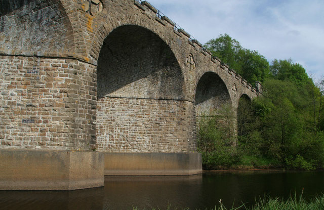
Kielder Viaduct consists of seven semi-circular masonry skew arches and was built in 1862 by the North British Railway to carry the Border Counties Line across marshy land, which following flooding to create Kielder Water, became the place where Deadwater Burn joins Bakethin Reservoir. Now closed to rail traffic, the bridge is currently used as a footpath.
- Category
- Photo Spots
- Location
- Kielder, United Kingdom
- Coordinates
- 55.22450, -2.57967
- How to get there
- Google MapsApple MapsOpenStreetMap
- Wikidata
- Q6405251
What is Kielder Viaduct?
Kielder Viaduct is a Photo Spots place on VeroMaps. Other places close by: Hermitage Castle, Bewcastle Castle, St Cuthbert's Well, Bellingham Castle.
Where is Kielder Viaduct?
Kielder Viaduct is in Kielder, United Kingdom. Coordinates: 55.22450, -2.57967.
How do I get to Kielder Viaduct?
Kielder Viaduct is at Kielder, United Kingdom (55.22450, -2.57967). Enter these coordinates in Google Maps, Apple Maps or OpenStreetMap for walking, cycling or driving directions.