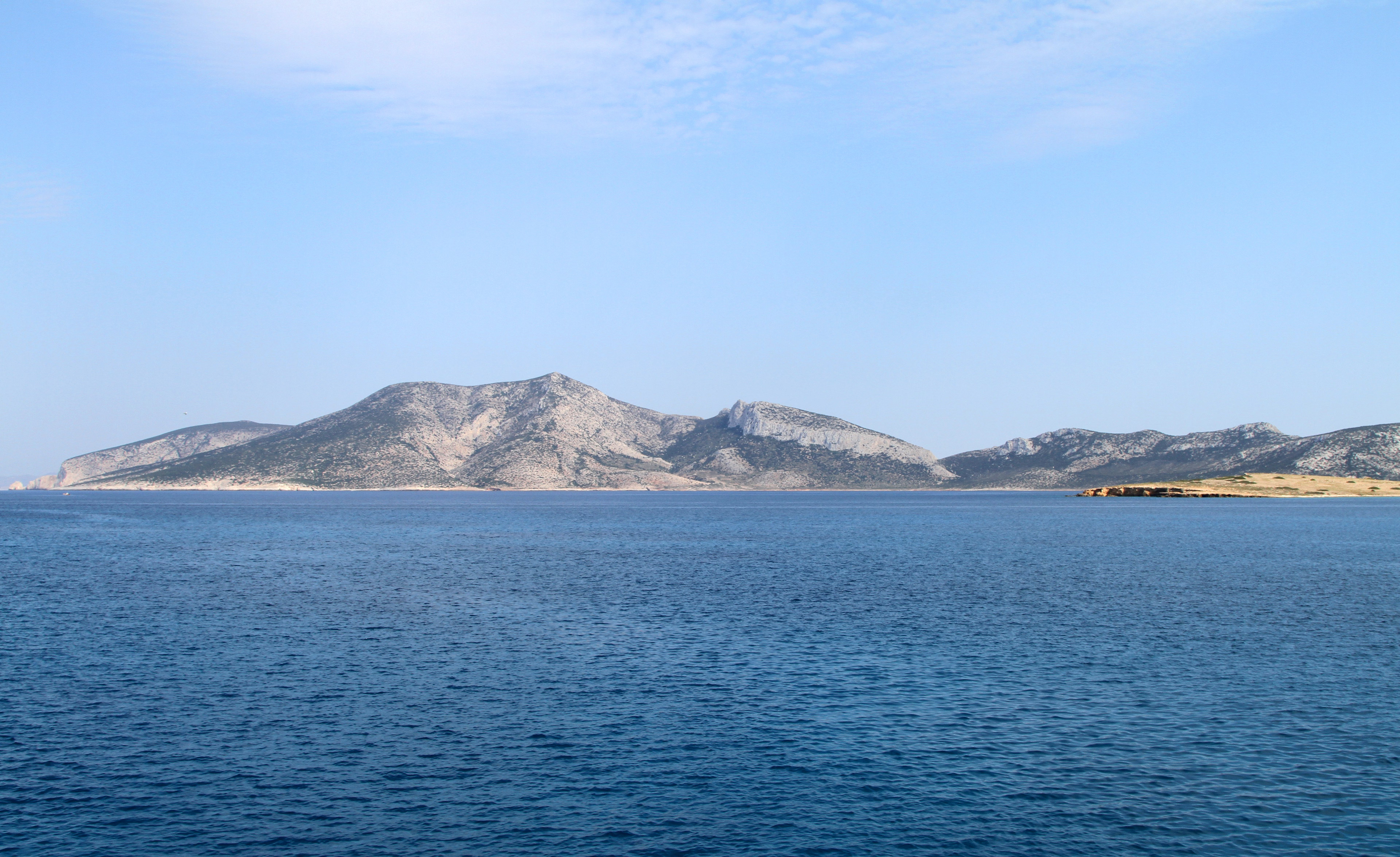
Forgotten History
Keros
Naxos and Lesser Cyclades Municipality, Greece
Keros (Greek: Κέρος; anciently, Keria or Kereia (Ancient Greek: Κέρεια)) is an uninhabited and unpopulated Greek island in the Cyclades about 10 km (6 mi) southeast of Naxos. Administratively it is part of the community of Koufonisia. It has an area of 15 km2 (6 sq mi) and its highest point is 432 m (1,417 ft). It was an important site to the Cycladic civilization that flourished around 2500 BC. It is now forbidden to land on Keros.
- Category
- Forgotten History
- Location
- Naxos and Lesser Cyclades Municipality, Greece
- Coordinates
- 36.89139, 25.64861
- How to get there
- Google MapsApple MapsOpenStreetMap
- Wikidata
- Q546109
What is Keros?
Keros is a Forgotten History place on VeroMaps. Other places close by: Asfondilitis, Ios lighthouse, Korakas Lighthouse (Paros), Cave of Antiparos.
Where is Keros?
Keros is in Naxos and Lesser Cyclades Municipality, Greece. Coordinates: 36.89139, 25.64861.
How do I get to Keros?
Keros is at Naxos and Lesser Cyclades Municipality, Greece (36.89139, 25.64861). Enter these coordinates in Google Maps, Apple Maps or OpenStreetMap for walking, cycling or driving directions.