Forgotten History
Ancient Thera
Thira Municipality, Greece
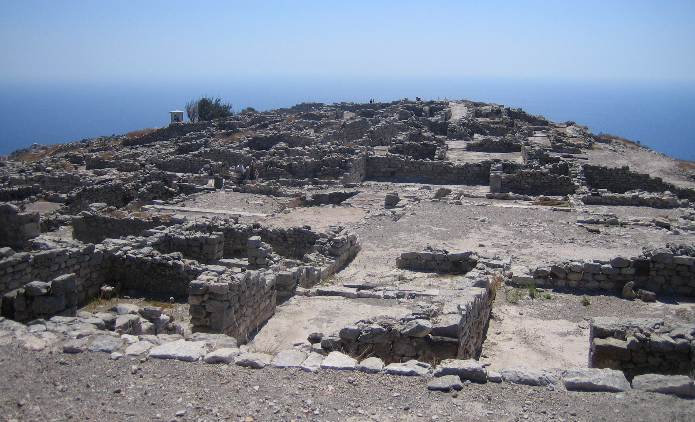
Ancient Thera (Greek: Αρχαία Θήρα) is an archaeological site from classical antiquity on the island of Santorini, which sits on the top of a limestone hill called Mesa Vouno. Starting in 1895, Friedrich Hiller von Gaertringen systematically investigated the city until 1904. Later excavations by N. Zapheiropoulos between 1961 and 1982, under the auspices of the Archaeological Society of Athens, unearthed the city's necropolis in Sellada. Findings from these excavations are on exhibit at the archaeological museum in Fira. Excavation work continued between 1990 and 1994 under the leadership of Wolfram Hoepfner of the Free University of Berlin and resulted in a more precise understanding of the history of the southern Aegean. Ancient Thera is open to the public and can be reached on a winding road that starts at Kamari or several footpaths from both sides of the mountain.
- Category
- Forgotten History
- Location
- Thira Municipality, Greece
- Coordinates
- 36.36337, 25.47782
- How to get there
- Google MapsApple MapsOpenStreetMap
- Wikidata
- Q433004
What is Ancient Thera?
Ancient Thera is a Forgotten History place on VeroMaps. Other places close by: Akrotiri, Akrotiri lighthouse, Ios lighthouse, Keros.
Where is Ancient Thera?
Ancient Thera is in Thira Municipality, Greece. Coordinates: 36.36337, 25.47782.
How do I get to Ancient Thera?
Ancient Thera is at Thira Municipality, Greece (36.36337, 25.47782). Enter these coordinates in Google Maps, Apple Maps or OpenStreetMap for walking, cycling or driving directions.