Forgotten History
Kasteel van Liers
Herstal, Belgium
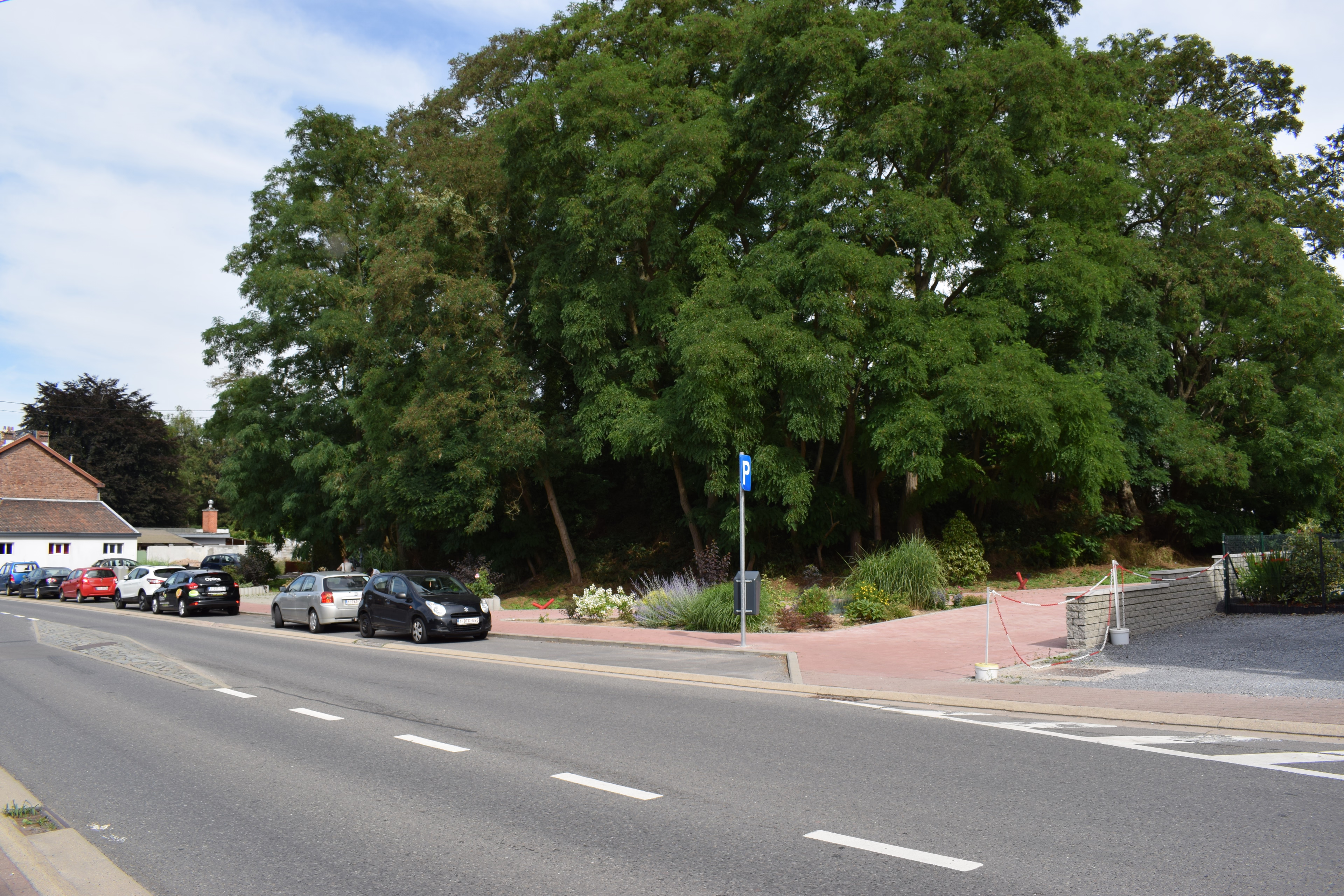
The feudal motte of Liers, sometimes wrongly seen as a tumulus, is the artificial hill (motte) on which the motte castle of Liers once stood. The fact that the hill was considered a tumulus is due to its location near the Chaussée Brunehaut. It is an impressive hill with a flattened top, which used to be surrounded by a moat. The mound has a volume of approximately 6,000 m³ and a surface area of 2,520 m².
- Category
- Forgotten History
- Location
- Herstal, Belgium
- Coordinates
- 50.69384, 5.56490
- How to get there
- Google MapsApple MapsOpenStreetMap
- Wikidata
- Q42399144
What is Kasteel van Liers?
Kasteel van Liers is a Forgotten History place on VeroMaps. Other places close by: Fort de Lantin, Chapelle Saint-Pierre, Chapelle du chateau du Bouxthay, Saint Roch Chapel.
Where is Kasteel van Liers?
Kasteel van Liers is in Herstal, Belgium. Coordinates: 50.69384, 5.56490.
How do I get to Kasteel van Liers?
Kasteel van Liers is at Herstal, Belgium (50.69384, 5.56490). Enter these coordinates in Google Maps, Apple Maps or OpenStreetMap for walking, cycling or driving directions.