Forgotten History
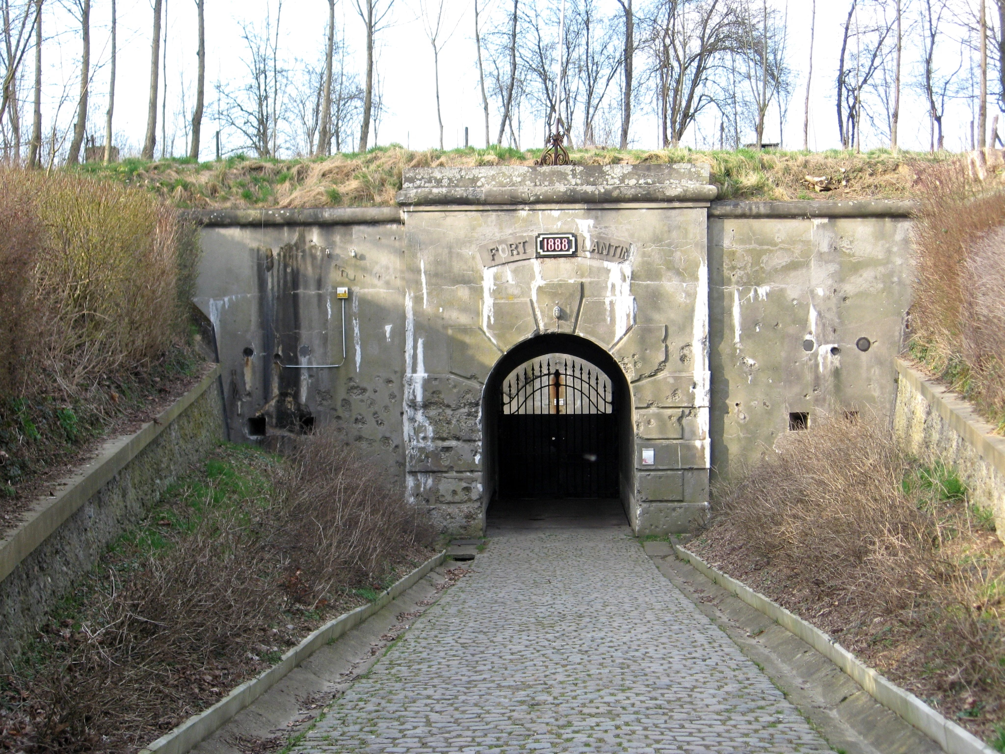
Fort de Lantin
Juprelle, Belgium
The Fort de Lantin is one of twelve forts built around Liège, Belgium, in the late 19th century. The overall Fortified Position of Liège was a constituent part of the country's National Redoubt. Fort de Lantin was built between 1881 and 1884 according to the plans of General Henri Alexis Brialmont. Contrasting with the French forts built in the same era by Raymond Adolphe Séré de Rivières, the fort was built exclusively of unreinforced concrete, a new material, rather than masonry.
- Category
- Forgotten History
- Location
- Juprelle, Belgium
- Coordinates
- 50.69465, 5.52572
- How to get there
- Google MapsApple MapsOpenStreetMap
- Wikidata
- Q764350
What is Fort de Lantin?
Fort de Lantin is a Forgotten History place on VeroMaps. Other places close by: Chapelle Saint-Pierre, Waroux Castle, Kasteel van Liers, Fort de Loncin.
Where is Fort de Lantin?
Fort de Lantin is in Juprelle, Belgium. Coordinates: 50.69465, 5.52572.
How do I get to Fort de Lantin?
Fort de Lantin is at Juprelle, Belgium (50.69465, 5.52572). Enter these coordinates in Google Maps, Apple Maps or OpenStreetMap for walking, cycling or driving directions.