Forgotten History
Kasteel Almere
Almere, Netherlands
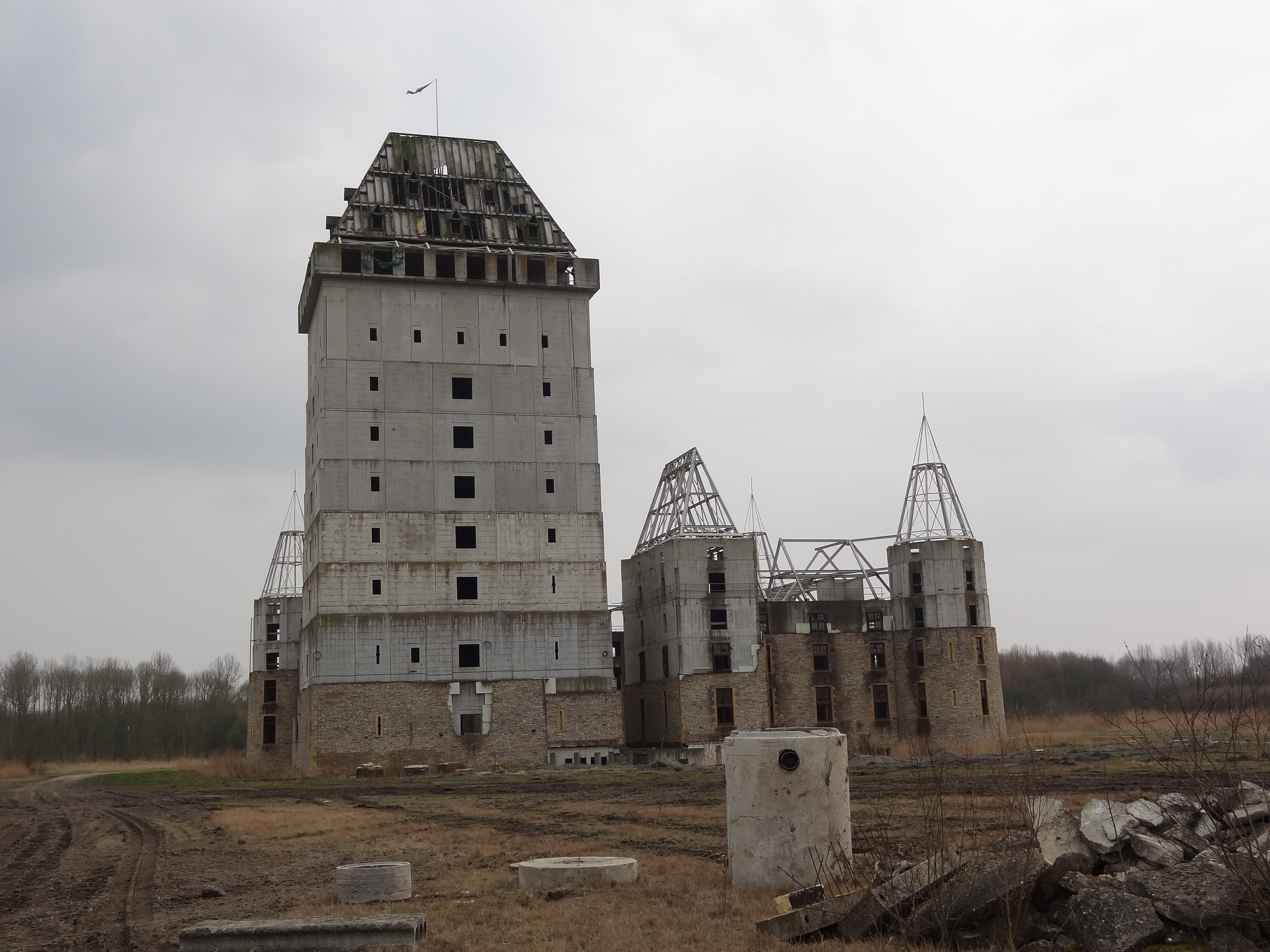
Almere Castle is a half-finished castle in the Dutch town of Almere in the province of Flevoland, Netherlands. Construction started in 2000 but was halted in 2002, after which the building has turned into a contemporary ruin. It is located on the Oude Waterlandseweg in Almere Haven and is visible from the A6 motorway.
- Category
- Forgotten History
- Location
- Almere, Netherlands
- Coordinates
- 52.34806, 5.24750
- How to get there
- Google MapsApple MapsOpenStreetMap
- Wikidata
- Q2502349
What is Kasteel Almere?
Kasteel Almere is a Forgotten History place on VeroMaps. Other places close by: Goede Rede, De Lichtboog, Almere, Bos der Onverzettelijken, 't Visnet.
Where is Kasteel Almere?
Kasteel Almere is in Almere, Netherlands. Coordinates: 52.34806, 5.24750.
How do I get to Kasteel Almere?
Kasteel Almere is at Almere, Netherlands (52.34806, 5.24750). Enter these coordinates in Google Maps, Apple Maps or OpenStreetMap for walking, cycling or driving directions.