Forgotten History
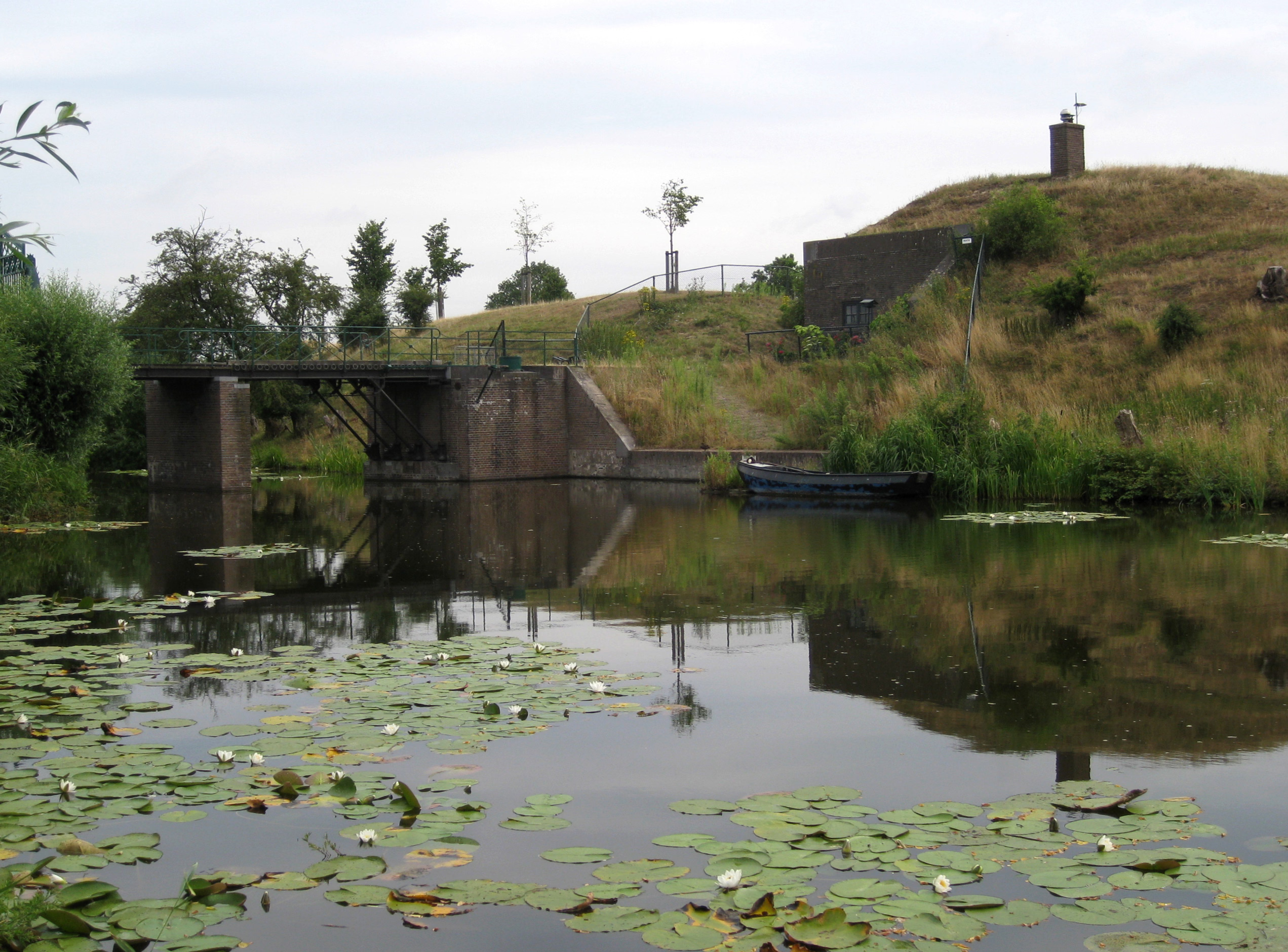
Fort Ronduit
Fort Ronduit met brug, Netherlands
Fort Ronduit is a polygonal fort in Naarden built in the period 1873-1875 on the remains of an earlier defense structure. The fort served to cover the land outside the dike north of the fortress of Naarden and as a reduit to which it owes its name. The fort is located north of the fortress of Naarden and south of the former Zuiderzee. In the 17th century there was already a fortress at this location to protect the port of Naarden and the existing fort was built in 1873-1875.
- Category
- Forgotten History
- Location
- Fort Ronduit met brug, Netherlands
- Coordinates
- 52.30274, 5.16476
- How to get there
- Google MapsApple MapsOpenStreetMap
- Wikidata
- Q2348864
What is Fort Ronduit?
Fort Ronduit is a Forgotten History place on VeroMaps. Other places close by: De Tinfabriek, Great or St. Vitus Church Naarden, Fort Werk 4, Water tower Bussum.
Where is Fort Ronduit?
Fort Ronduit is in Fort Ronduit met brug, Netherlands. Coordinates: 52.30274, 5.16476.
How do I get to Fort Ronduit?
Fort Ronduit is at Fort Ronduit met brug, Netherlands (52.30274, 5.16476). Enter these coordinates in Google Maps, Apple Maps or OpenStreetMap for walking, cycling or driving directions.