Urbex & Abandoned
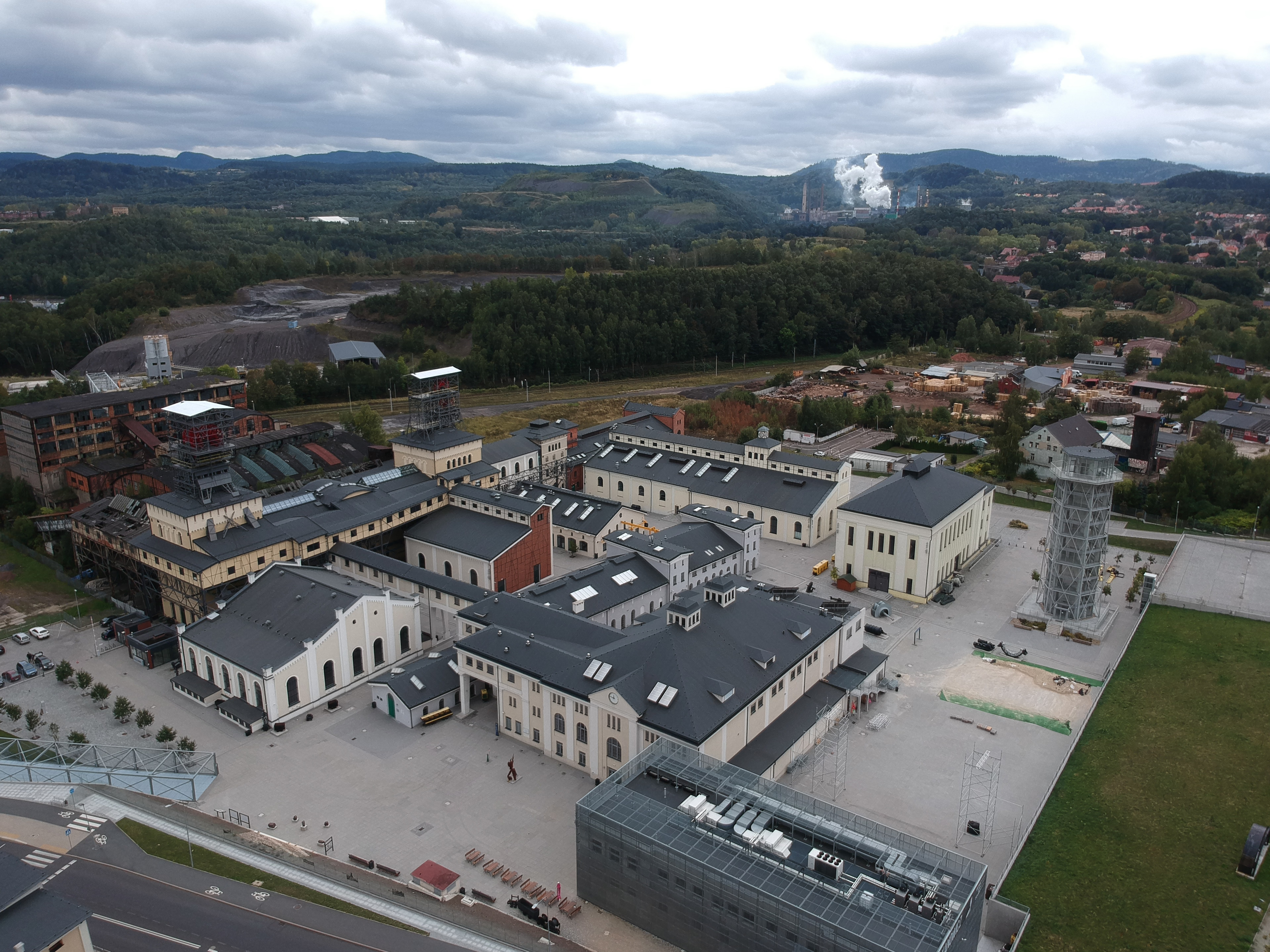
Julia coal mine
Wałbrzych, Poland
Das Steinkohlenbergwerk Julia (polnisch Kopalnia Węgla Kamiennego Julia) ist ein 1996 stillgelegtes Steinkohlenbergwerk in Weißstein (Biały Kamień (Wałbrzych)) einem Ortsteil von Wałbrzych, (dt.: Waldenburg), Polen. Heute ist es Kern des Museums für Industrie und Technik in Wałbrzych.
- Category
- Urbex & Abandoned
- Location
- Wałbrzych, Poland
- Coordinates
- 50.77238, 16.26145
- How to get there
- Google MapsApple MapsOpenStreetMap
- Wikidata
- Q11743364
What is Julia coal mine?
Julia coal mine is a Urbex & Abandoned place on VeroMaps. Other places close by: Kopalnia Węgla Kamiennego Wałbrzych, Alberti Palace in Wałbrzych, Tielsch Palace in Wałbrzych, Nowy Dwór Castle in Wałbrzych.
Where is Julia coal mine?
Julia coal mine is in Wałbrzych, Poland. Coordinates: 50.77238, 16.26145.
How do I get to Julia coal mine?
Julia coal mine is at Wałbrzych, Poland (50.77238, 16.26145). Enter these coordinates in Google Maps, Apple Maps or OpenStreetMap for walking, cycling or driving directions.