Urbex & Abandoned
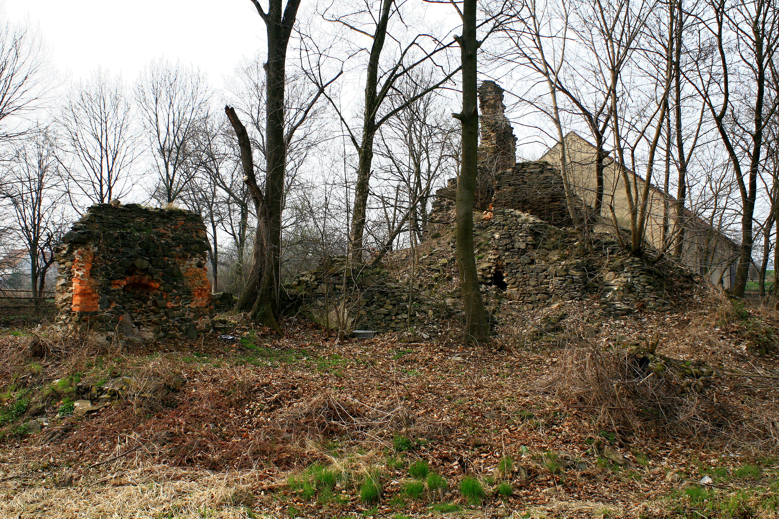
Castle Kłaczyna
Kłaczyna, Poland
Die Burgruine Kauder (polnisch Zamek w Kłaczynie) in Kłaczyna (deutsch Kauder) gehört zur Landgemeinde Dobromierz (Hohenfriedeberg) im Powiat Świdnicki (Kreis Schweidnitz) in der Woiwodschaft Niederschlesien in Polen. Die Ruine liegt acht Kilometer nordöstlich von Bolkenhain.
- Category
- Urbex & Abandoned
- Location
- Kłaczyna, Poland
- Coordinates
- 50.94127, 16.19326
- How to get there
- Google MapsApple MapsOpenStreetMap
- Wikidata
- Q19632309
What is Castle Kłaczyna?
Castle Kłaczyna is a Urbex & Abandoned place on VeroMaps. Other places close by: Pałac w Bronowie, Observation tower in Dobromierz, Palace in Dobromierz, Palace in Pietrzyków.
Where is Castle Kłaczyna?
Castle Kłaczyna is in Kłaczyna, Poland. Coordinates: 50.94127, 16.19326.
How do I get to Castle Kłaczyna?
Castle Kłaczyna is at Kłaczyna, Poland (50.94127, 16.19326). Enter these coordinates in Google Maps, Apple Maps or OpenStreetMap for walking, cycling or driving directions.