Photo corners
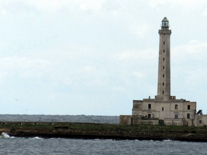
Isola Sant'Andrea lighthouse
Gallipoli, Italy
Isola Sant'Andrea Lighthouse (Italian: Faro di Isola Sant'Andrea) is an active lighthouse located on a flat islet, the Isola Sant'Andrea, positioned at 0.8 nautical miles (1.5 km; 0.92 mi) from Gallipoli on the Ionian Sea.
- Category
- Photo Spots
- Location
- Gallipoli, Italy
- Coordinates
- 40.05008, 17.94947
- How to get there
- Google MapsApple MapsOpenStreetMap
- Wikidata
- Q28376110
What is Isola Sant'Andrea lighthouse?
Isola Sant'Andrea lighthouse is a Photo Spots place on VeroMaps. Other places close by: Castello di Gallipoli, Torre San Giovanni la Pedata, Torre Sabea, Torre Pizzo.
Where is Isola Sant'Andrea lighthouse?
Isola Sant'Andrea lighthouse is in Gallipoli, Italy. Coordinates: 40.05008, 17.94947.
How do I get to Isola Sant'Andrea lighthouse?
Isola Sant'Andrea lighthouse is at Gallipoli, Italy (40.05008, 17.94947). Enter these coordinates in Google Maps, Apple Maps or OpenStreetMap for walking, cycling or driving directions.