Forgotten History
Castello di Gallipoli
Italy
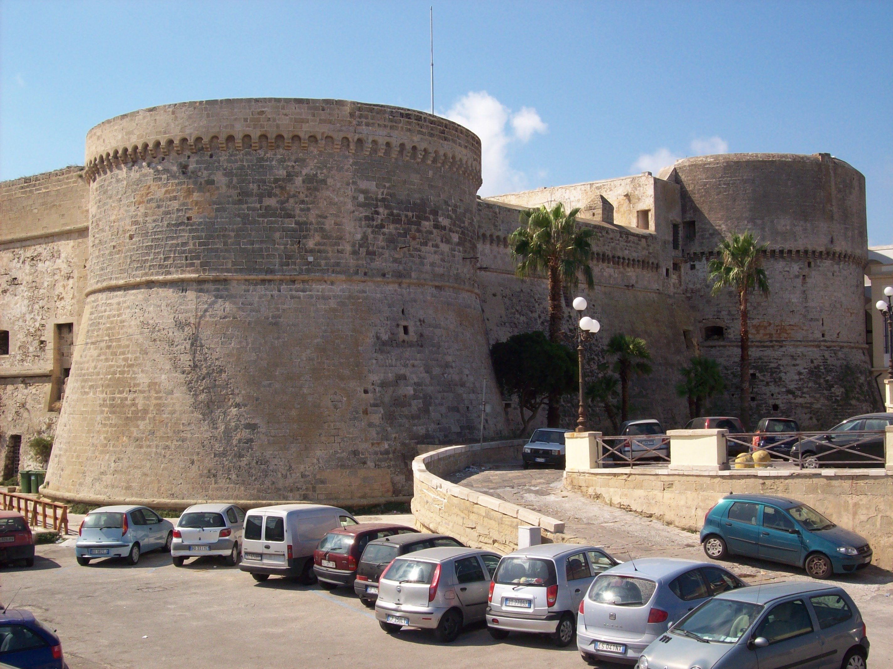
Das Castello di Gallipoli ist eine Küstenfestung auf der imposanten Mole im äußersten Osten der Insel, auf der sich die Innenstadt von Gallipoli in der italienischen Region Apulien befindet. Sie ist fast vollständig vom Meer umgeben. Erbaut wurde sie vermutlich schon im 11. Jahrhundert auf den Fundamenten einer alten, römischen Festung und dann im 13. Jahrhundert, in byzantinischer Zeit, umgebaut. Von den Eroberern, die sie einnahmen, wurde sie im Laufe der Jahrhunderte mehrfach umgebaut.
- Category
- Forgotten History
- Location
- Italy
- Address
- Riviera Armando Diaz
- Coordinates
- 40.05521, 17.97861
- How to get there
- Google MapsApple MapsOpenStreetMap
- Wikidata
- Q3662615
What is Castello di Gallipoli?
Castello di Gallipoli is a Forgotten History place on VeroMaps, on Riviera Armando Diaz. Other places close by: Torre San Giovanni la Pedata, Isola Sant'Andrea lighthouse, Torre Sabea, Torre Pizzo.
Where is Castello di Gallipoli?
Castello di Gallipoli is in Italy. Coordinates: 40.05521, 17.97861.
How do I get to Castello di Gallipoli?
Castello di Gallipoli is at Riviera Armando Diaz, Italy (40.05521, 17.97861). Enter these coordinates in Google Maps, Apple Maps or OpenStreetMap for walking, cycling or driving directions.