Urbex & Abandoned
Idarado Mine
Colorado, United States
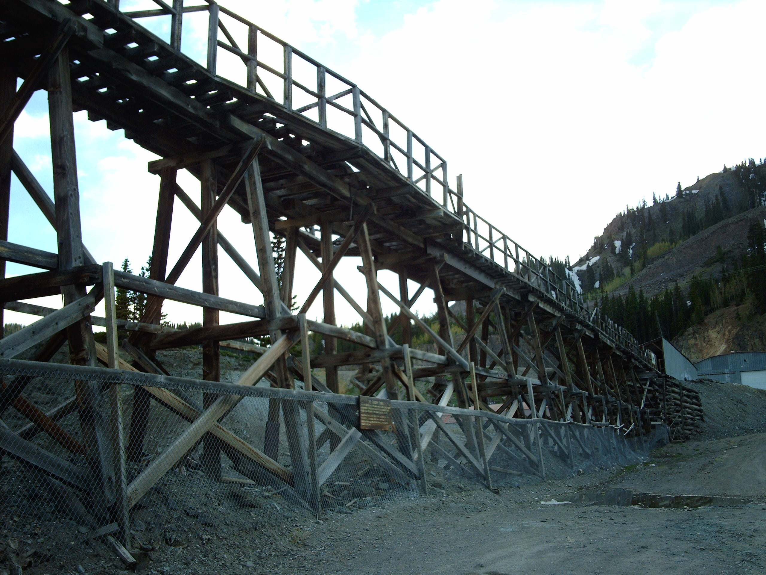
The Idarado Mine was a mining operation in the San Juan Mountains of Ouray County, Colorado near the now-ghost town of Guston, producing primarily lead, zinc and silver along with small amounts of gold and copper. The mine is within the Sneffels-Red Mountain-Telluride mining district. The mine was a consolidation of several previously inactive mines interconnected via the Treasury Tunnel. The remains of the operation are visible from the Million Dollar Highway, north of Red Mountain Pass, between Ouray and Silverton, Colorado. The tunnels of the Idarado extend some 5 miles (8 km) west under 13,000 foot (4,000 m) mountains to the Pandora Mill near Telluride, a trip of more than 60 miles (100 km) by highway.
- Category
- Urbex & Abandoned
- Location
- Colorado, United States
- Coordinates
- 37.91510, -107.70000
- How to get there
- Google MapsApple MapsOpenStreetMap
- Wikidata
- Q5987725
What is Idarado Mine?
Idarado Mine is a Urbex & Abandoned place on VeroMaps. Other places close by: Western Hotel, Old Hundred Gold Mine, Lost Trail Station, Golden Fleece Mine.
Where is Idarado Mine?
Idarado Mine is in Colorado, United States. Coordinates: 37.91510, -107.70000.
How do I get to Idarado Mine?
Idarado Mine is at Colorado, United States (37.91510, -107.70000). Enter these coordinates in Google Maps, Apple Maps or OpenStreetMap for walking, cycling or driving directions.