Photo corners
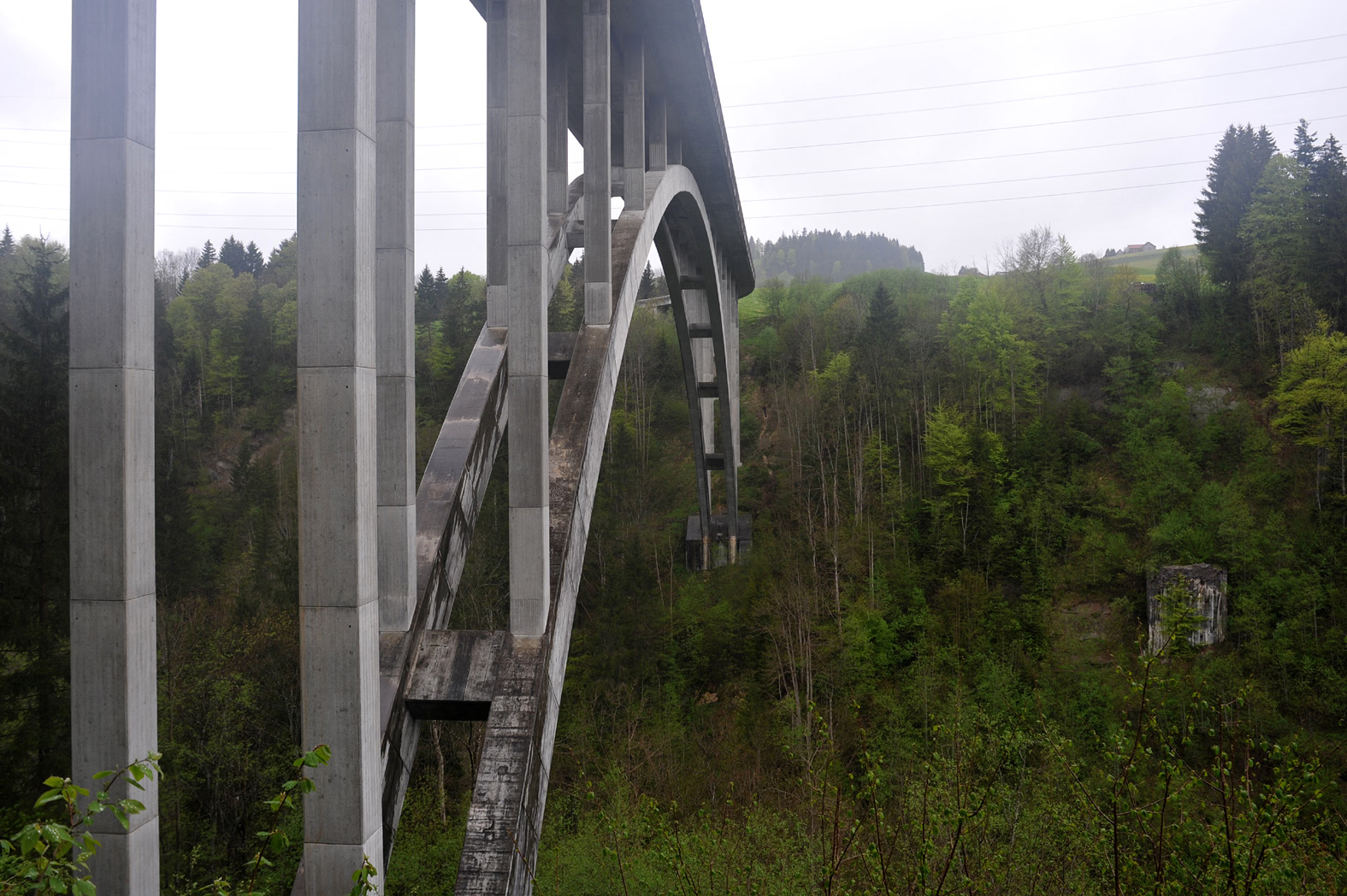
Hundwilertobel-Brücke
Canton of Appenzell Ausserrhoden, Switzerland
Die Hundwilertobelbrücke ist eine Strassenbrücke (Hauptstrasse 463) im Schweizer Kanton Appenzell Ausserrhoden, die unter der Leitung von Dialma Jakob Bänziger in den Jahren 1990 bis 1992 gebaut wurde. Sie ersetzte eine Vorgängerbrücke, die 1925 dem Verkehr übergeben wurde.
- Category
- Photo Spots
- Location
- Canton of Appenzell Ausserrhoden, Switzerland
- Coordinates
- 47.36175, 9.30239
- How to get there
- Google MapsApple MapsOpenStreetMap
- Wikidata
- Q112123343
What is Hundwilertobel-Brücke?
Hundwilertobel-Brücke is a Photo Spots place on VeroMaps. Other places close by: Hundwilertobel bridge (1925), Null Stern Hotel, Rosenberg Castle Ruins, SOB-Sitterviadukt.
Where is Hundwilertobel-Brücke?
Hundwilertobel-Brücke is in Canton of Appenzell Ausserrhoden, Switzerland. Coordinates: 47.36175, 9.30239.
How do I get to Hundwilertobel-Brücke?
Hundwilertobel-Brücke is at Canton of Appenzell Ausserrhoden, Switzerland (47.36175, 9.30239). Enter these coordinates in Google Maps, Apple Maps or OpenStreetMap for walking, cycling or driving directions.