Photo corners
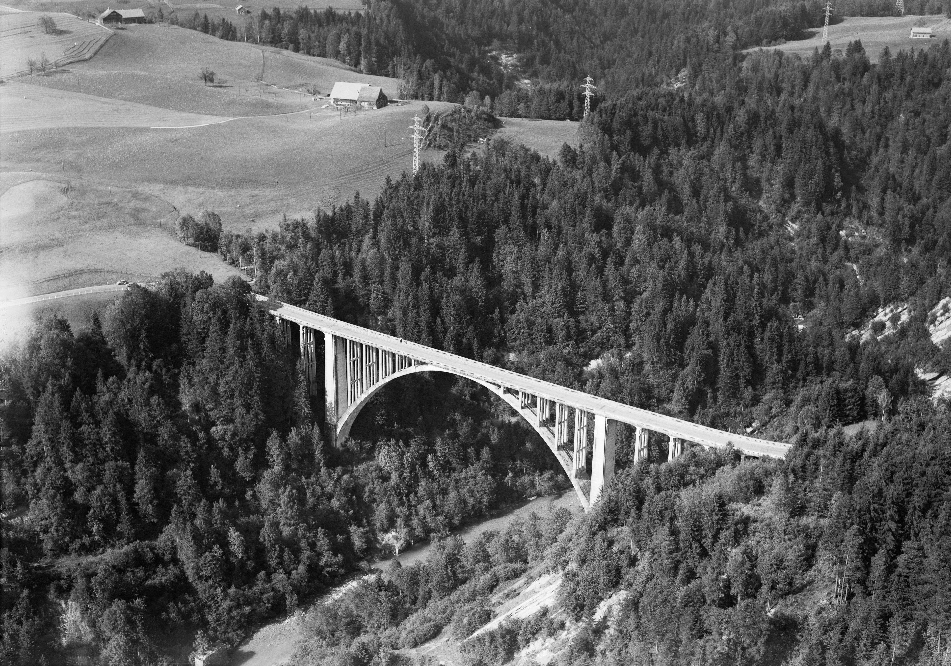
Hundwilertobel bridge (1925)
Canton of Appenzell Ausserrhoden, Switzerland
Die Hundwilertobelbrücke, auch Hundwilerbrücke oder neue Hundwilerbrücke, war eine Strassenbrücke im Kanton Appenzell Ausserrhoden, die zwischen Waldstatt und Hundwil über das Hundwilertobel führte. Sie ersetzte als Talbrücke eine Holzbrücke mit steilen Zufahrten, die im Tobel lag.
- Category
- Photo Spots
- Location
- Canton of Appenzell Ausserrhoden, Switzerland
- Coordinates
- 47.36195, 9.30299
- How to get there
- Google MapsApple MapsOpenStreetMap
- Wikidata
- Q112164298
What is Hundwilertobel bridge (1925)?
Hundwilertobel bridge (1925) is a Photo Spots place on VeroMaps. Other places close by: Hundwilertobel-Brücke, Null Stern Hotel, Rosenberg Castle Ruins, SOB-Sitterviadukt.
Where is Hundwilertobel bridge (1925)?
Hundwilertobel bridge (1925) is in Canton of Appenzell Ausserrhoden, Switzerland. Coordinates: 47.36195, 9.30299.
How do I get to Hundwilertobel bridge (1925)?
Hundwilertobel bridge (1925) is at Canton of Appenzell Ausserrhoden, Switzerland (47.36195, 9.30299). Enter these coordinates in Google Maps, Apple Maps or OpenStreetMap for walking, cycling or driving directions.