Local Legends
Herlingsburg
Schieder-Schwalenberg, Germany
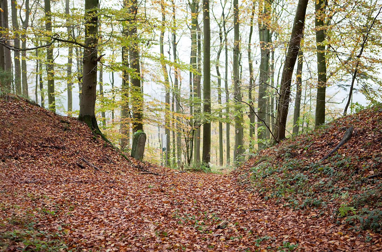
The Herlingsburg is a Latène period rampart and refuge (Volksburg) in the eastern Lippe Mountains in the area of the municipalities of Lügde and Schieder-Schwalenberg in the Lippe district. The cultural and historical archaeological monument is located in an exposed location on the plateau-like 345 meter high Keuperberg. The archaeological evaluations indicate a pre-Roman Iron Age hilltop settlement of the late La Tène period, which came back into (warlike) use by the Saxons in the Carolingian period of the 8th century.
- Category
- Local Legends
- Location
- Schieder-Schwalenberg, Germany
- Coordinates
- 51.94830, 9.18833
- How to get there
- Google MapsApple MapsOpenStreetMap
- Wikidata
- Q1610150
What is Herlingsburg?
Herlingsburg is a Local Legends place on VeroMaps. Other places close by: Bomhof, Kahlenbergturm, hillfort in Schieder-Schwalenberg, Schloss Schieder.
Where is Herlingsburg?
Herlingsburg is in Schieder-Schwalenberg, Germany. Coordinates: 51.94830, 9.18833.
How do I get to Herlingsburg?
Herlingsburg is at Schieder-Schwalenberg, Germany (51.94830, 9.18833). Enter these coordinates in Google Maps, Apple Maps or OpenStreetMap for walking, cycling or driving directions.