Forgotten History
Bomhof
Lugde, Germany
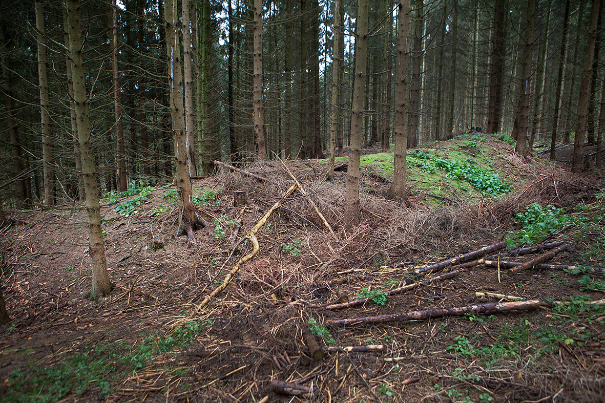
Der kleine Ringwall Bomhof liegt etwa 900 Meter südöstlich der Herlingsburg auf einer Geländestufe bei 200 Meter über NN Höhe bei Lügde im nordrhein-westfälischen Kreis Lippe. Von der etwa 400 Quadratmeter großen Anlage sind heute nur noch Wallreste erhalten.
- Category
- Forgotten History
- Location
- Lugde, Germany
- Coordinates
- 51.94410, 9.20629
- How to get there
- Google MapsApple MapsOpenStreetMap
- Wikidata
- Q891953
What is Bomhof?
Bomhof is a Forgotten History place on VeroMaps. Other places close by: Herlingsburg, Kahlenbergturm, hillfort in Schieder-Schwalenberg, Schloss Schieder.
Where is Bomhof?
Bomhof is in Lugde, Germany. Coordinates: 51.94410, 9.20629.
How do I get to Bomhof?
Bomhof is at Lugde, Germany (51.94410, 9.20629). Enter these coordinates in Google Maps, Apple Maps or OpenStreetMap for walking, cycling or driving directions.