Forgotten History
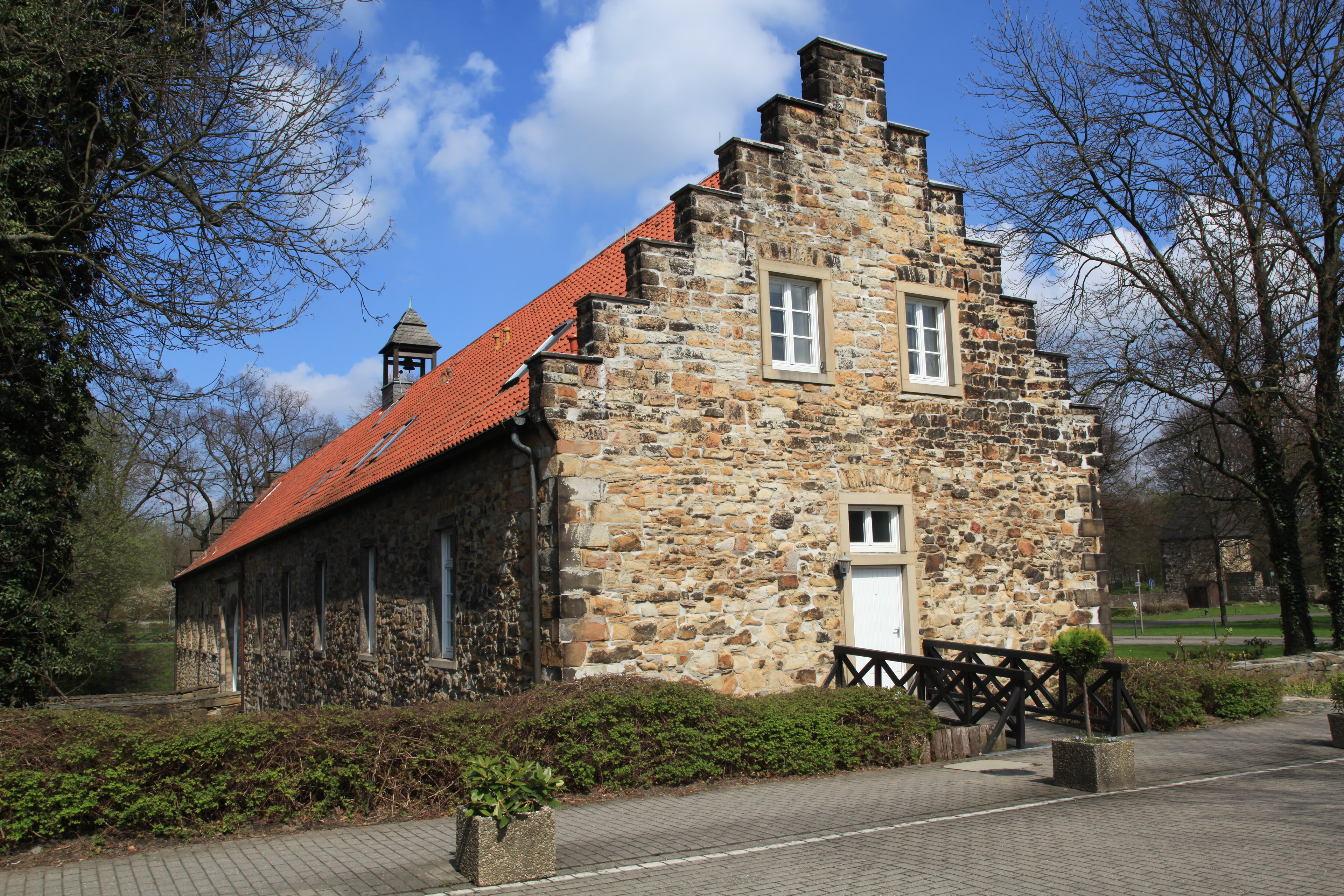
Haus Langendreer
Bochum, Germany
Haus Langendreer is a former noble residence in the Bochum district of Langendreer. The property is located on the main street of Langendreer right next to S-Bahn line 1 (between Dortmund and Solingen) near Langendreer station. In the immediate vicinity were two other noble residences: Haus Leithe, first documented in 1436 as Leitenborg, and the Niederschultenhof or Maihof.
- Category
- Forgotten History
- Location
- Bochum, Germany
- Coordinates
- 51.47580, 7.32698
- How to get there
- Google MapsApple MapsOpenStreetMap
- Wikidata
- Q1590298
What is Haus Langendreer?
Haus Langendreer is a Forgotten History place on VeroMaps. Other places close by: Matrix Bochum, Kulturzentrum Bahnhof-Langendreer, Zeche Mansfeld, Zeche Robert Müser.
Where is Haus Langendreer?
Haus Langendreer is in Bochum, Germany. Coordinates: 51.47580, 7.32698.
How do I get to Haus Langendreer?
Haus Langendreer is at Bochum, Germany (51.47580, 7.32698). Enter these coordinates in Google Maps, Apple Maps or OpenStreetMap for walking, cycling or driving directions.