Photo corners
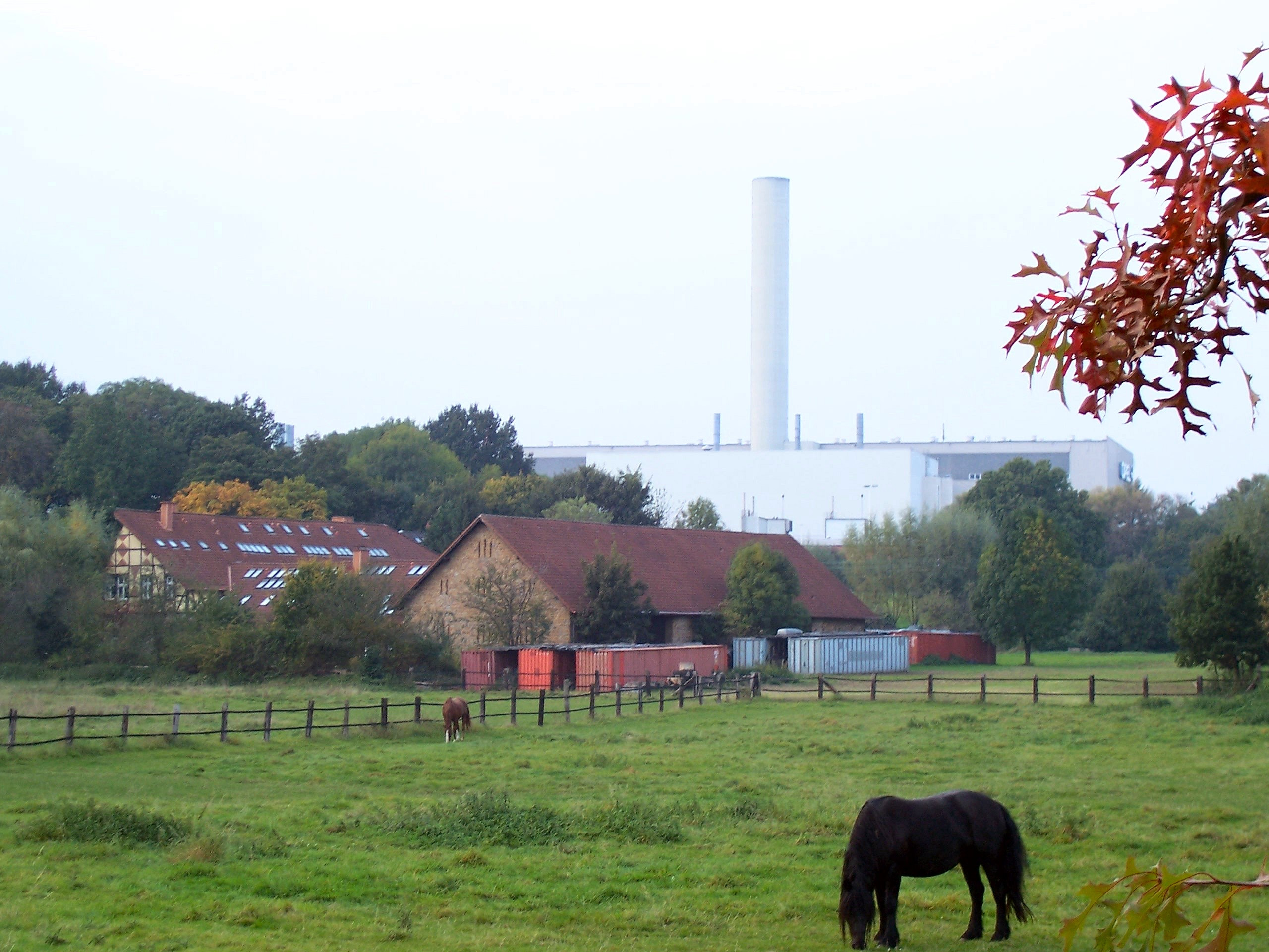
Haus Laer
Bochum, Germany
Haus Laer ist eine Wasserburg im Südosten Bochums im Tal des Schattbachs an der Höfestraße 45. Sie zählt zu den ältesten Adelssitzen im Ruhrgebiet. Das Haus ist namensgebend für den Stadtteil Laer.
- Category
- Photo Spots
- Location
- Bochum, Germany
- Coordinates
- 51.46310, 7.27194
- How to get there
- Google MapsApple MapsOpenStreetMap
- Wikidata
- Q1590296
What is Haus Laer?
Haus Laer is a Photo Spots place on VeroMaps. Other places close by: Adam Opel AG Werk Bochum I, Zeche Dannenbaum, Zeche Mansfeld, Botanischer Garten der Ruhr-Universität Bochum.
Where is Haus Laer?
Haus Laer is in Bochum, Germany. Coordinates: 51.46310, 7.27194.
How do I get to Haus Laer?
Haus Laer is at Bochum, Germany (51.46310, 7.27194). Enter these coordinates in Google Maps, Apple Maps or OpenStreetMap for walking, cycling or driving directions.