Urbex & Abandoned
Harding Mine
Taos County, United States
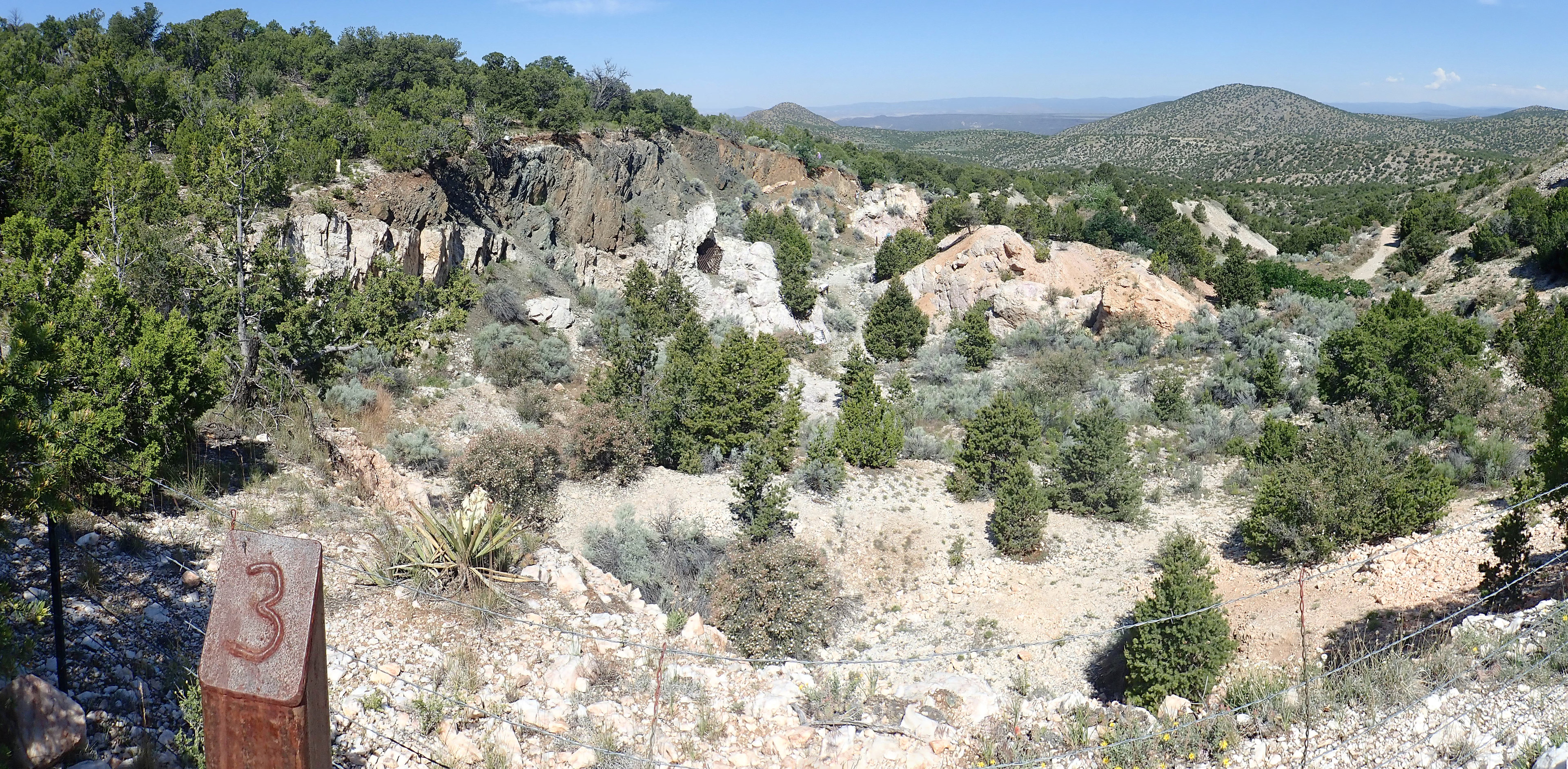
The Harding Pegmatite Mine is a former adit mine that extracted lithium, tantalum, and beryllium from a Precambrian pegmatite sill. It ceased operations in 1958 and its owner, Arthur Montgomery, donated it to the University of New Mexico, which runs the site as an outdoor geology laboratory with mineral collecting permitted on a small scale.
- Category
- Urbex & Abandoned
- Location
- Taos County, United States
- Coordinates
- 36.19278, -105.79444
- How to get there
- Google MapsApple MapsOpenStreetMap
- Wikidata
- Q49417372
What is Harding Mine?
Harding Mine is a Urbex & Abandoned place on VeroMaps. Other places close by: Jean Cocteau Cinema, Bobcat Bite, Ortiz Mountains, Los Poblanos Historic Inn & Organic Farm.
Where is Harding Mine?
Harding Mine is in Taos County, United States. Coordinates: 36.19278, -105.79444.
How do I get to Harding Mine?
Harding Mine is at Taos County, United States (36.19278, -105.79444). Enter these coordinates in Google Maps, Apple Maps or OpenStreetMap for walking, cycling or driving directions.