Forgotten History
Gwydir Castle
Llanrwst, United Kingdom
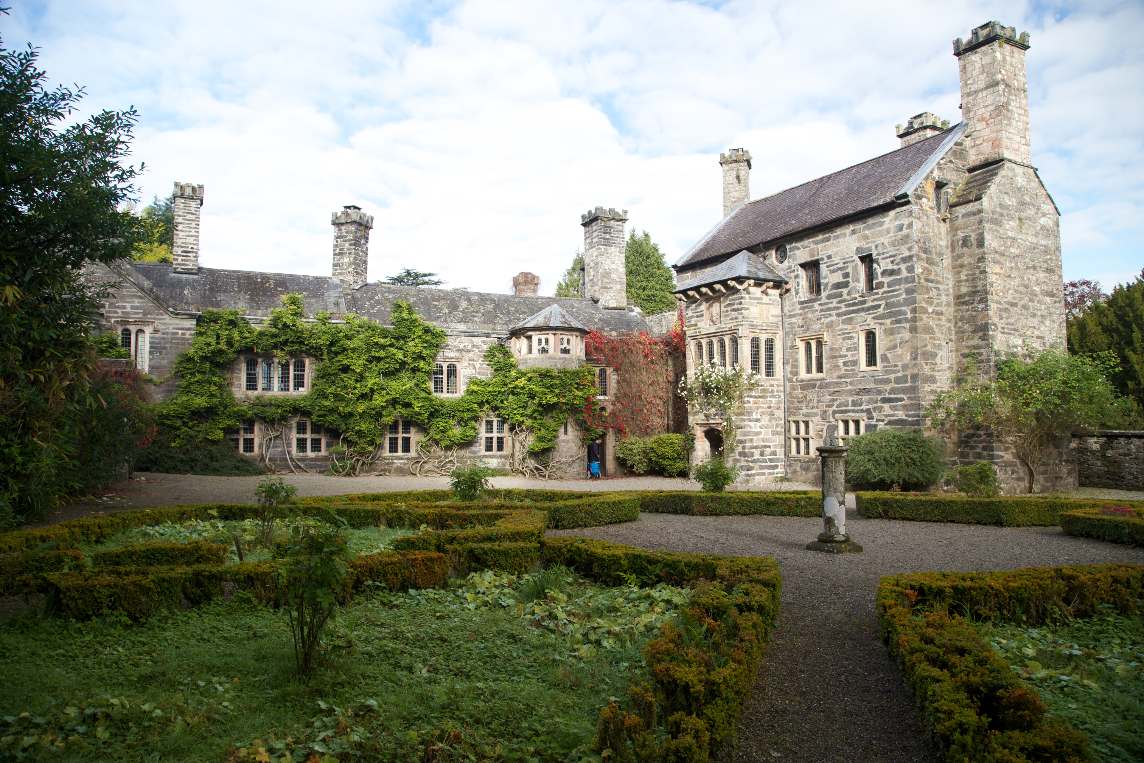
Gwydir Castle (Welsh: Castell Gwydir, pronounced [ˈkastɛɬ ˈɡwɨdir]) is in the Conwy valley, Wales, a mile west of the market town of Llanrwst and 1.5 miles (2.4 km) south of the large village of Trefriw. An example of a fortified manor house dating back to c. 1500, it is located on the edge of the floodplain of the river Conwy, and overlooked from the west by the slopes of Gwydir Forest.
- Category
- Forgotten History
- Location
- Llanrwst, United Kingdom
- Coordinates
- 53.13290, -3.80115
- How to get there
- Google MapsApple MapsOpenStreetMap
- Wikidata
- Q3398574
What is Gwydir Castle?
Gwydir Castle is a Forgotten History place on VeroMaps. Other places close by: Waterloo Bridge, Ty'n-y-Bryn Quarry, Tomen y Castell, Dolwyddelan Castle.
Where is Gwydir Castle?
Gwydir Castle is in Llanrwst, United Kingdom. Coordinates: 53.13290, -3.80115.
How do I get to Gwydir Castle?
Gwydir Castle is at Llanrwst, United Kingdom (53.13290, -3.80115). Enter these coordinates in Google Maps, Apple Maps or OpenStreetMap for walking, cycling or driving directions.