Forgotten History
Dinas Emrys
Penrhyndeudraeth, United Kingdom
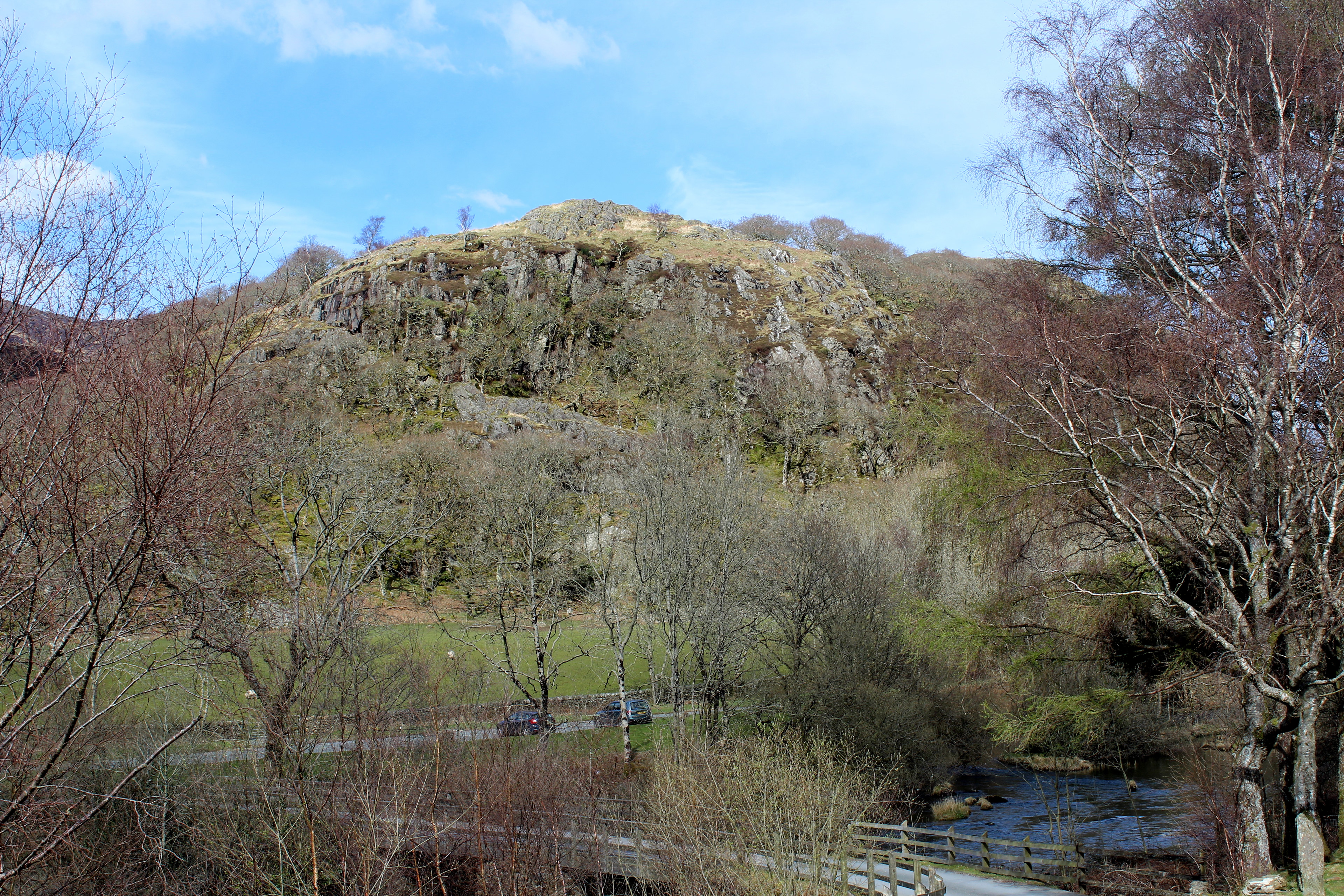
Dinas Emrys (Welsh for 'Emrys's city') is a rocky and wooded hillock near Beddgelert in Gwynedd, north-west Wales. Rising some 76 m (250 ft) above the floor of the Glaslyn river valley, it overlooks the southern end of Llyn Dinas in Snowdonia. Little remains of the Iron Age hillfort or castle structures that once stood here, save its stone ramparts and the base of a keep [Grid reference SH 60669 49228]. Some believe the castle was erected by Llewelyn the Last to guard the road to the mountain pass of Snowdon.
- Category
- Forgotten History
- Location
- Penrhyndeudraeth, United Kingdom
- Coordinates
- 53.02200, -4.07900
- How to get there
- Google MapsApple MapsOpenStreetMap
- Wikidata
- Q354820
What is Dinas Emrys?
Dinas Emrys is a Forgotten History place on VeroMaps. Other places close by: Sygun Copper Mine, Fron-Boeth and Pant Mawr Quarries, Croesor Quarry, Conglog Slate Quarry.
Where is Dinas Emrys?
Dinas Emrys is in Penrhyndeudraeth, United Kingdom. Coordinates: 53.02200, -4.07900.
How do I get to Dinas Emrys?
Dinas Emrys is at Penrhyndeudraeth, United Kingdom (53.02200, -4.07900). Enter these coordinates in Google Maps, Apple Maps or OpenStreetMap for walking, cycling or driving directions.