Photo corners
Grubbdalen
Krokom Municipality, Sweden
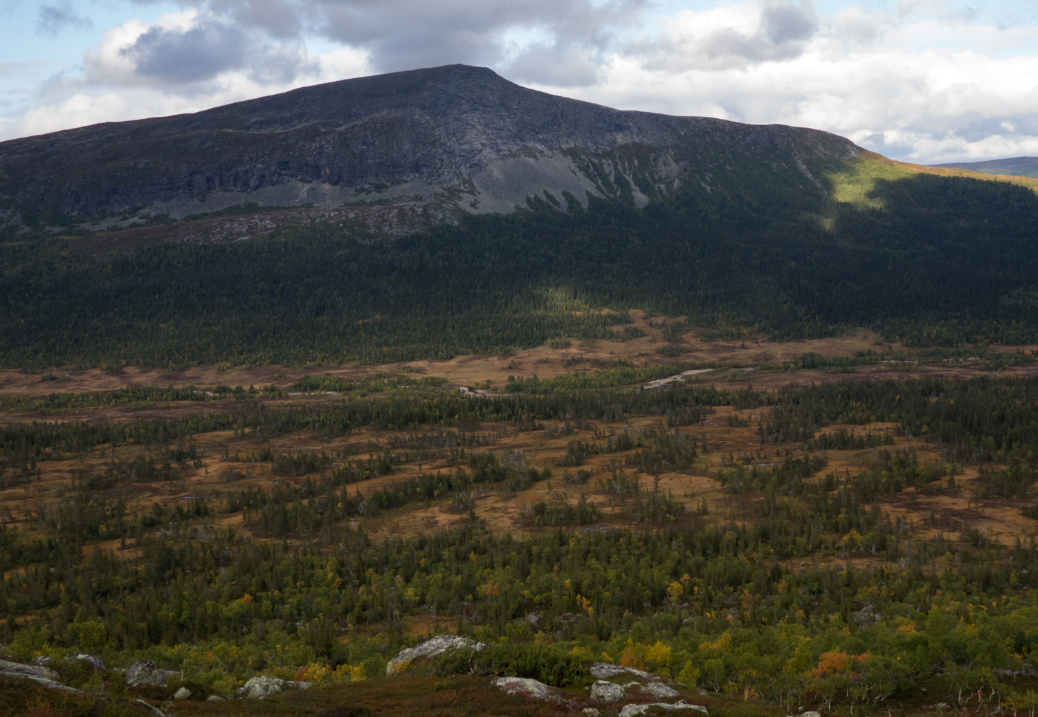
Grubbdalen är ett naturreservat i Offerdal socken och Hotagens socken i norra Krokoms kommun, Jämtland. Naturreservatet omfattar 2059 hektar, varav 50 hektar vatten och bildades år 2003. Söder om Grubbdalen ligger Oldflån-Ansättens naturreservat. Grubbdalen nås via Föllinge, Hotagen, Rötviken och Höberg.
- Category
- Photo Spots
- Location
- Krokom Municipality, Sweden
- Coordinates
- 64.03431, 13.72831
- How to get there
- Google MapsApple MapsOpenStreetMap
- Wikidata
- Q10509063
What is Grubbdalen?
Grubbdalen is a Photo Spots place on VeroMaps. Other places close by: Lierne National Park, Blåfjella–Skjækerfjella National Park, Hällingsåfallet, Hällberget.
Where is Grubbdalen?
Grubbdalen is in Krokom Municipality, Sweden. Coordinates: 64.03431, 13.72831.
How do I get to Grubbdalen?
Grubbdalen is at Krokom Municipality, Sweden (64.03431, 13.72831). Enter these coordinates in Google Maps, Apple Maps or OpenStreetMap for walking, cycling or driving directions.