Photo corners
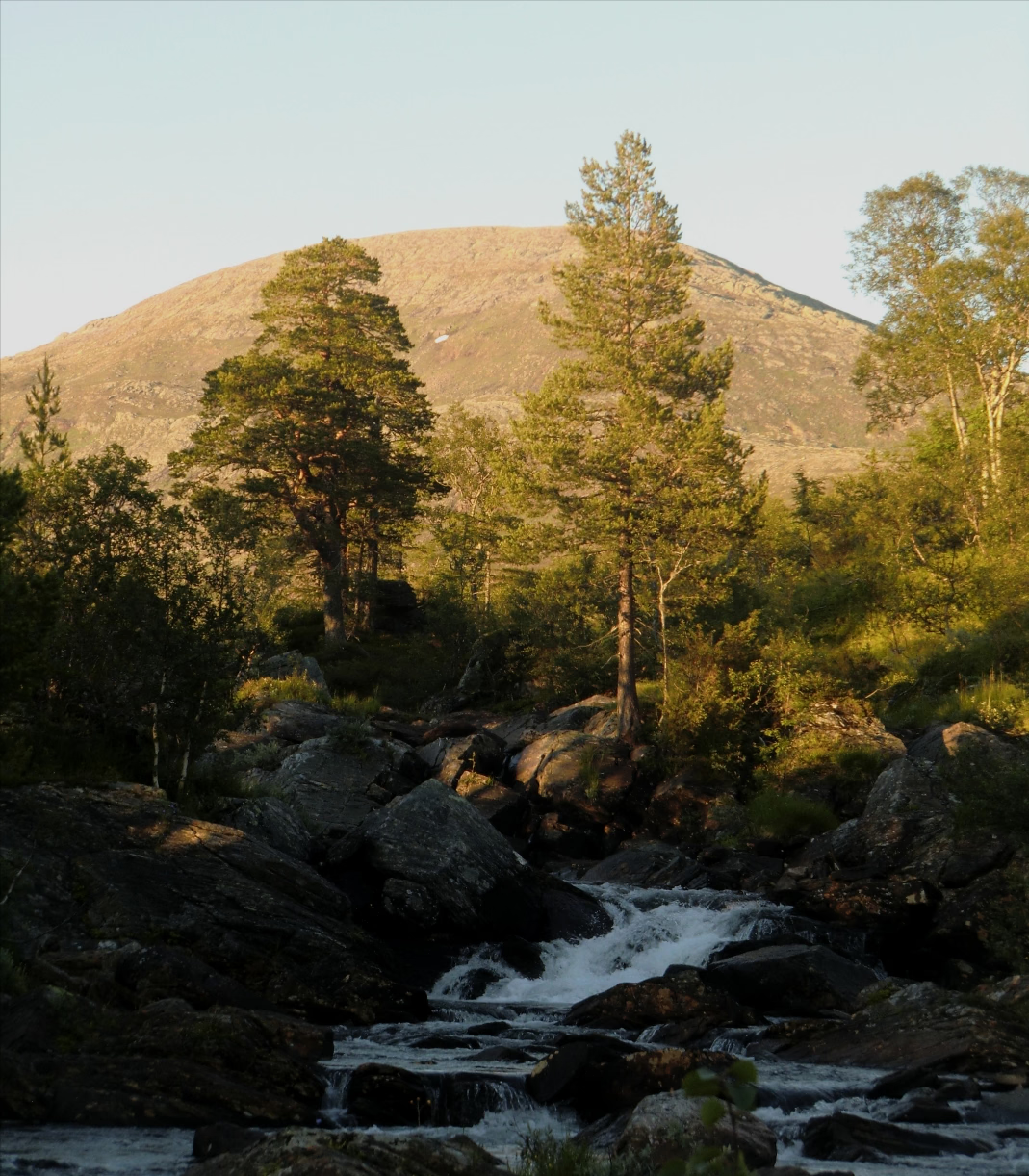
Blåfjella–Skjækerfjella National Park
Steinkjer Municipality, Norway
Blåfjella–Skjækerfjella National Park (Norwegian: Blåfjella-Skjækerfjella nasjonalpark, Southern Sami: Låarte-Skæhkere vaarjelimmiedajve) lies in Trøndelag county, Norway. It is the fourth largest national park on the Norwegian mainland and one of the largest remaining true wilderness areas.
- Category
- Photo Spots
- Location
- Steinkjer Municipality, Norway
- Coordinates
- 64.21680, 13.10929
- How to get there
- Google MapsApple MapsOpenStreetMap
- Wikidata
- Q887049
What is Blåfjella–Skjækerfjella National Park?
Blåfjella–Skjækerfjella National Park is a Photo Spots place on VeroMaps. Other places close by: Grubbdalen, Lierne National Park, Hällingsåfallet, Fäviken Magasinet.
Where is Blåfjella–Skjækerfjella National Park?
Blåfjella–Skjækerfjella National Park is in Steinkjer Municipality, Norway. Coordinates: 64.21680, 13.10929.
How do I get to Blåfjella–Skjækerfjella National Park?
Blåfjella–Skjækerfjella National Park is at Steinkjer Municipality, Norway (64.21680, 13.10929). Enter these coordinates in Google Maps, Apple Maps or OpenStreetMap for walking, cycling or driving directions.