Urbex & Abandoned
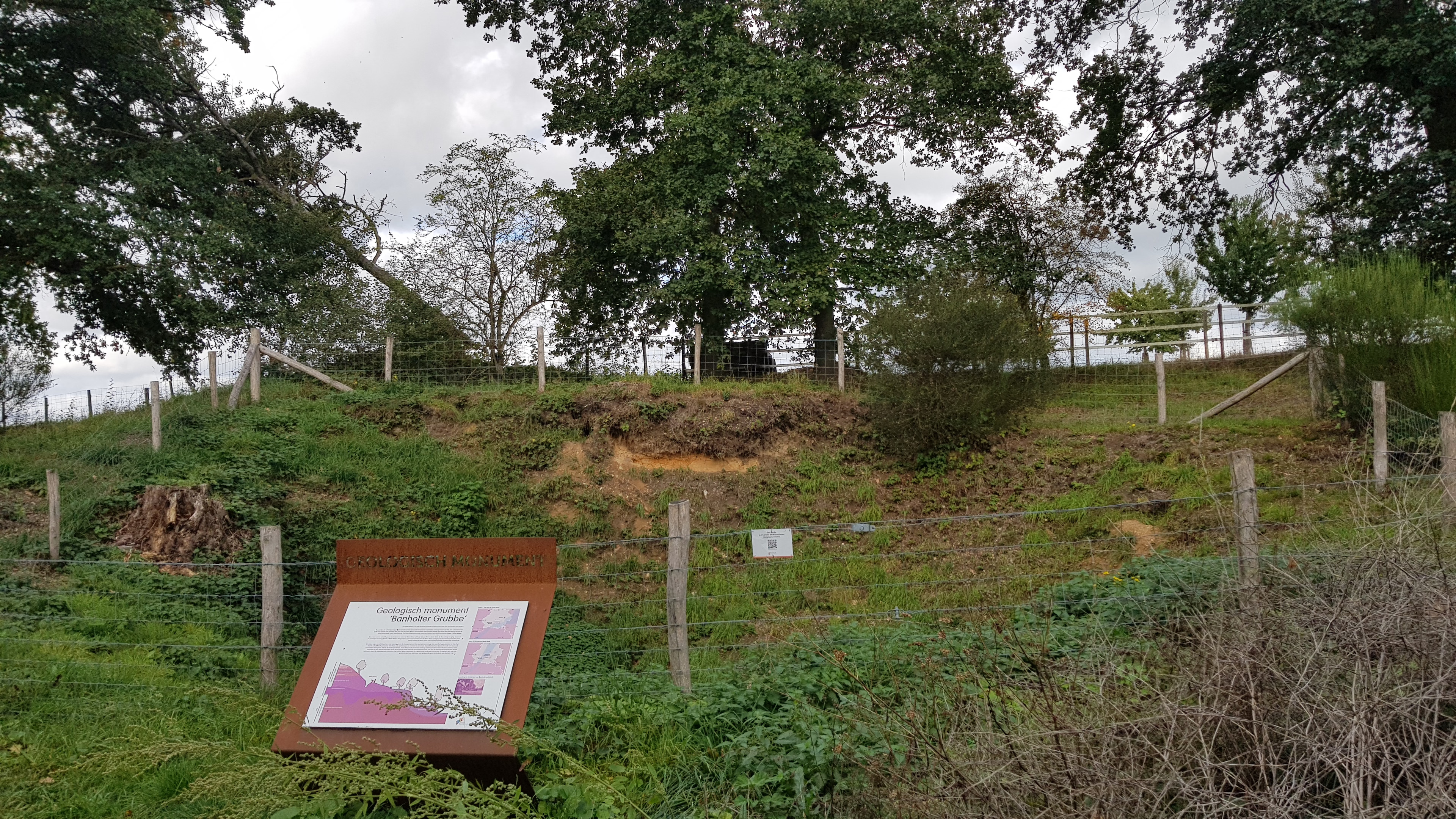
Groeve Banholtergrubbe
Eijsden-Margraten, Netherlands
De Groeve Banholtergrubbe is een groeve en geologisch monument in Nederlands Zuid-Limburg in de gemeente Eijsden-Margraten. De dagbouwgroeve ligt ten westen van Banholt. De groeve ligt midden op de hoogte van de Banholterheide op het Plateau van Margraten.
- Category
- Urbex & Abandoned
- Location
- Eijsden-Margraten, Netherlands
- Coordinates
- 50.79182, 5.79886
- How to get there
- Google MapsApple MapsOpenStreetMap
- Wikidata
- Q69915416
What is Groeve Banholtergrubbe?
Groeve Banholtergrubbe is a Urbex & Abandoned place on VeroMaps. Other places close by: Lourdesgrot Banholt, Mariakapel, Lourdesgrot Herkenrade, Mariakapel.
Where is Groeve Banholtergrubbe?
Groeve Banholtergrubbe is in Eijsden-Margraten, Netherlands. Coordinates: 50.79182, 5.79886.
How do I get to Groeve Banholtergrubbe?
Groeve Banholtergrubbe is at Eijsden-Margraten, Netherlands (50.79182, 5.79886). Enter these coordinates in Google Maps, Apple Maps or OpenStreetMap for walking, cycling or driving directions.