Urbex & Abandoned
Groeve Moerslag
Eijsden-Margraten, Netherlands
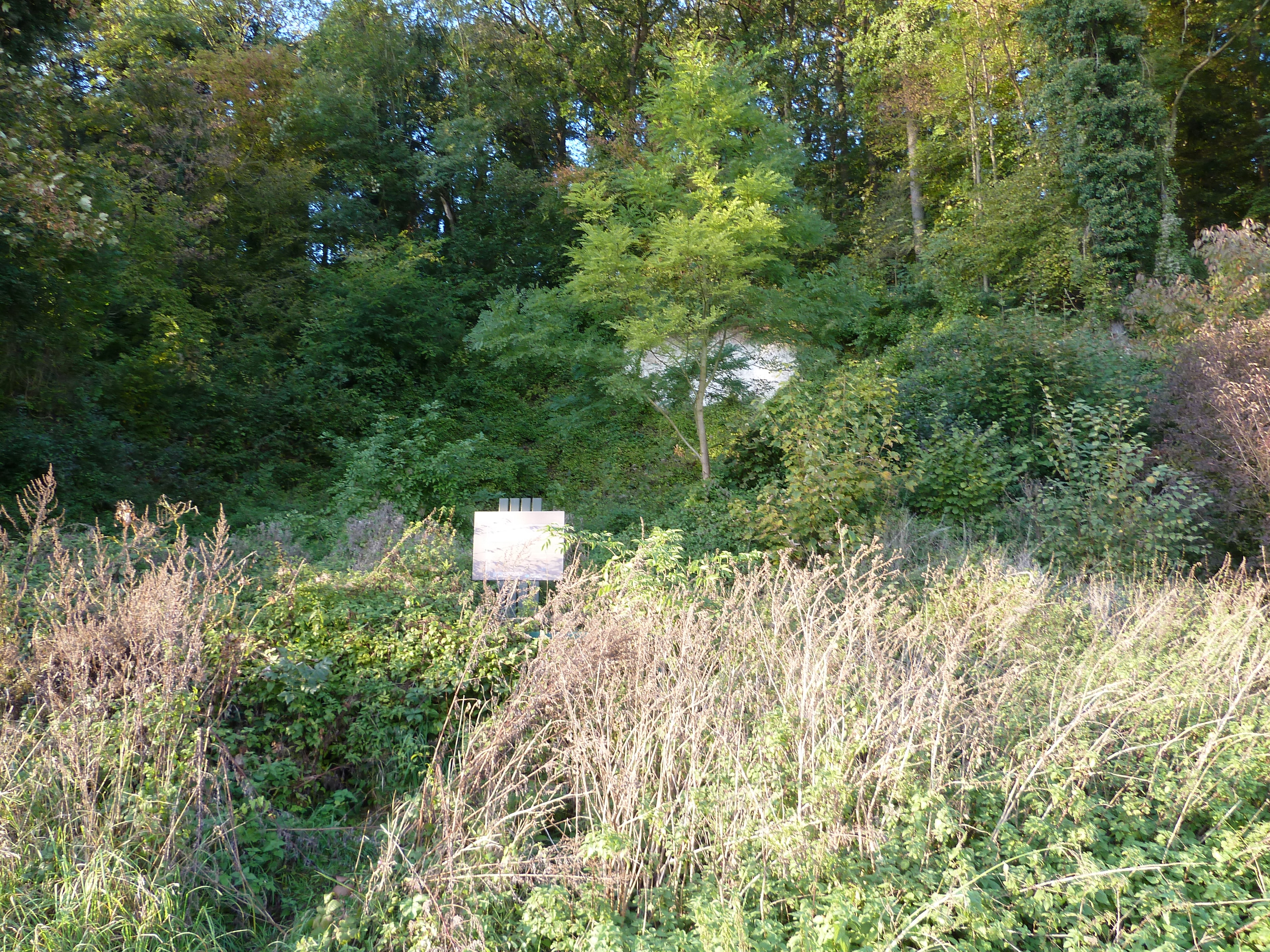
Groeve Moerslag is a limestone quarry and geological monument located in the municipality of Eijsden-Margraten, Netherlands. The above-ground quarry is situated on the Bukel, northeast of Moerslag in the Herkenradergrub, southwest of Sint Geertruid, and at the southern edge of the Eijsderbos, part of the Savelsbos. The open-pit quarry is located at the western edge of the Plateau of Margraten where it transitions into the Maas valley. Here, the plateau drops steeply several meters.
- Category
- Urbex & Abandoned
- Location
- Eijsden-Margraten, Netherlands
- Coordinates
- 50.78962, 5.75986
- How to get there
- Google MapsApple MapsOpenStreetMap
- Wikidata
- Q66371250
What is Groeve Moerslag?
Groeve Moerslag is a Urbex & Abandoned place on VeroMaps. Other places close by: Mariakapel, Monument Old Hickory, flint mines Schone Grub, flint quarries Savelsbos.
Where is Groeve Moerslag?
Groeve Moerslag is in Eijsden-Margraten, Netherlands. Coordinates: 50.78962, 5.75986.
How do I get to Groeve Moerslag?
Groeve Moerslag is at Eijsden-Margraten, Netherlands (50.78962, 5.75986). Enter these coordinates in Google Maps, Apple Maps or OpenStreetMap for walking, cycling or driving directions.