Urbex & Abandoned
Gåseborg
Järfälla Municipality, Sweden
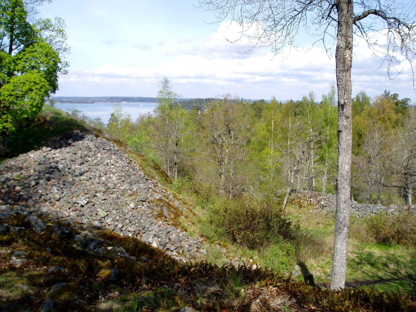
Gåseborg is a prehistoric hillfort in the Lake Mälaren district in Sweden. The scientists don't know for certain, but most likely it was built to supervise and control the water fairway below the fort, probably sometime during the late iron age (500-1100 AD). Several major fairways passed right here and from this place the local man in power could control the traffic to Uppsala, Sigtuna, Birka and the western districts of Lake Mälaren.
- Category
- Urbex & Abandoned
- Location
- Järfälla Municipality, Sweden
- Coordinates
- 59.40167, 17.76222
- How to get there
- Google MapsApple MapsOpenStreetMap
- Wikidata
- Q10512566
What is Gåseborg?
Gåseborg is a Urbex & Abandoned place on VeroMaps. Other places close by: Eldgarnsö Nature Reserve, Björn Järnsidas Hög, Judarskogen nature reserve, Edsbacka krog.
Where is Gåseborg?
Gåseborg is in Järfälla Municipality, Sweden. Coordinates: 59.40167, 17.76222.
How do I get to Gåseborg?
Gåseborg is at Järfälla Municipality, Sweden (59.40167, 17.76222). Enter these coordinates in Google Maps, Apple Maps or OpenStreetMap for walking, cycling or driving directions.