Local Legends
Björn Järnsidas Hög
Ekerö Municipality, Sweden
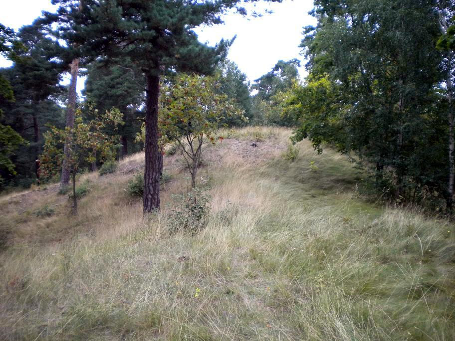
Björn Järnsidas Hög ist ein nicht untersuchter Grabhügel auf der Ostseite der Insel Munsö im Mälaren, in Uppland in Schweden, der im 18. Jahrhundert von Altertumsenthusiasten den Namen Bjǫrn Ragnarsson járnsíða (lateinisch Bier Costae ferreae; deutsch Björn Eisenseite) erhielt.
- Category
- Local Legends
- Location
- Ekerö Municipality, Sweden
- Coordinates
- 59.36610, 17.62830
- How to get there
- Google MapsApple MapsOpenStreetMap
- Wikidata
- Q10430679
What is Björn Järnsidas Hög?
Björn Järnsidas Hög is a Local Legends place on VeroMaps. Other places close by: Alsnö hus, Birkaborgen, Eldgarnsö Nature Reserve, Gåseborg.
Where is Björn Järnsidas Hög?
Björn Järnsidas Hög is in Ekerö Municipality, Sweden. Coordinates: 59.36610, 17.62830.
How do I get to Björn Järnsidas Hög?
Björn Järnsidas Hög is at Ekerö Municipality, Sweden (59.36610, 17.62830). Enter these coordinates in Google Maps, Apple Maps or OpenStreetMap for walking, cycling or driving directions.