Forgotten History
Fort Vuren
Lingewaal, Netherlands
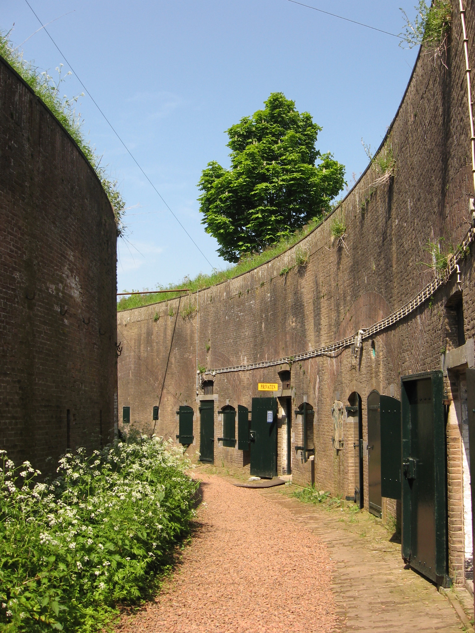
Fort Vuren is a fort that is part of the New Dutch Waterline, and is located in Vuren in the municipality of West Betuwe in Gelderland. The fort was built in 1844 on the Waaldijk, it served to protect Gorinchem and to prevent the enemy from moving west. In 1847-1849 a bombproof tower was built on top of the fort. A moat was dug around the tower, after which it could only be reached via a drawbridge.
- Category
- Forgotten History
- Location
- Lingewaal, Netherlands
- Coordinates
- 51.82270, 5.02968
- How to get there
- Google MapsApple MapsOpenStreetMap
- Wikidata
- Q18776088
What is Fort Vuren?
Fort Vuren is a Forgotten History place on VeroMaps. Other places close by: Johannes Nepomukkerk, Gevangenpoort, Woudrichem, Nooit Gedagt, Martinuskerk.
Where is Fort Vuren?
Fort Vuren is in Lingewaal, Netherlands. Coordinates: 51.82270, 5.02968.
How do I get to Fort Vuren?
Fort Vuren is at Lingewaal, Netherlands (51.82270, 5.02968). Enter these coordinates in Google Maps, Apple Maps or OpenStreetMap for walking, cycling or driving directions.