Forgotten History
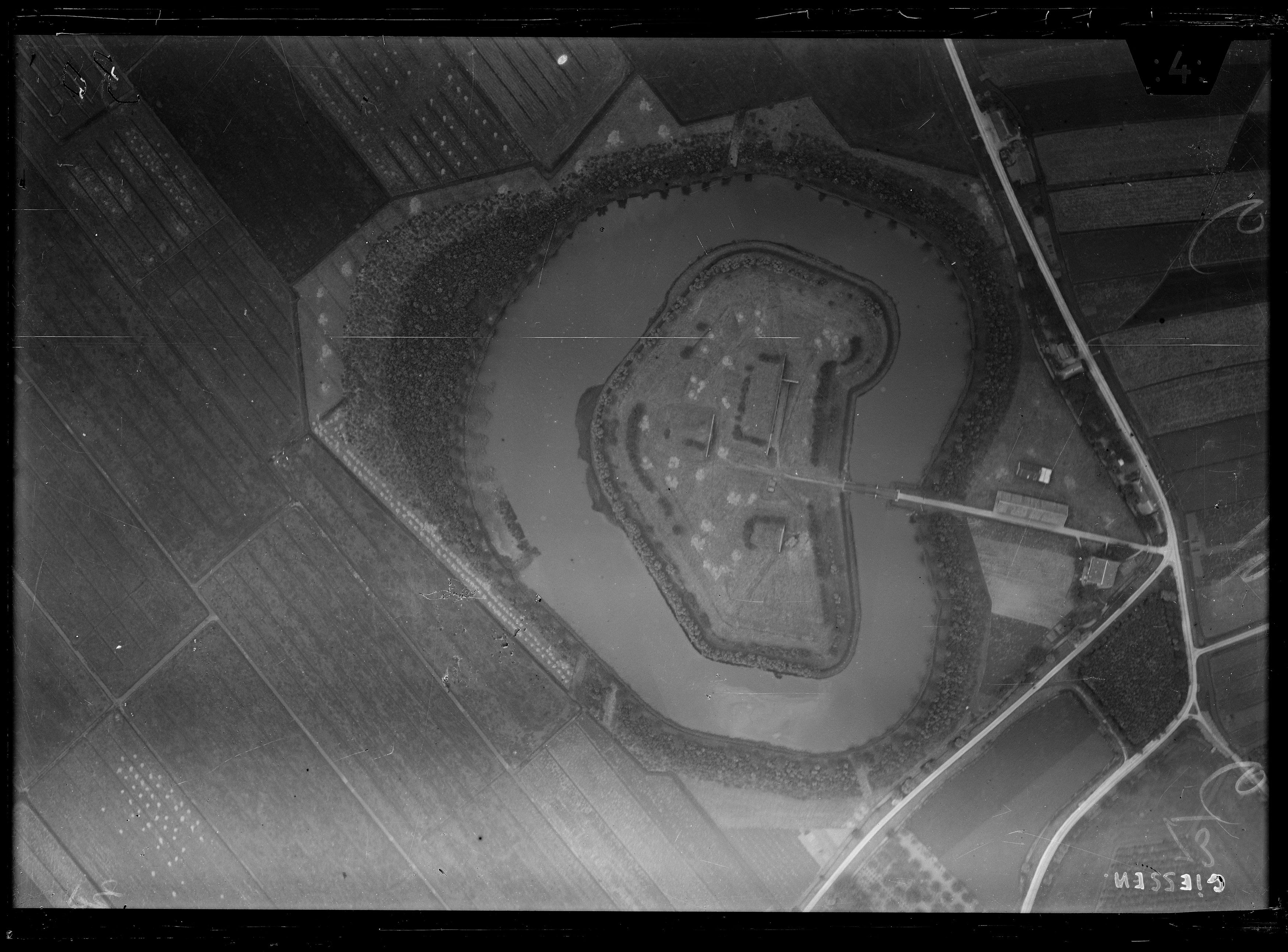
Fort Giessen
Woudrichem, Netherlands
The Fort at Giessen is a fort that is part of the New Dutch Waterline and is located near the town of Giessen. The fort was built from 1878-1881 and served to prevent an attack on Woudrichem. Construction was difficult: the solid clay layer was at a depth of 3 meters and the peat above it had to be excavated, after which the pit had to be filled with sand to provide strength to the foundation. The fort consists of an army building and two depots for the storage of ammunition and artillery.
- Category
- Forgotten History
- Location
- Woudrichem, Netherlands
- Coordinates
- 51.78570, 5.02654
- How to get there
- Google MapsApple MapsOpenStreetMap
- Wikidata
- Q18773254
What is Fort Giessen?
Fort Giessen is a Forgotten History place on VeroMaps. Other places close by: Nederlands Hervormde Kerk (Giessen), Hervormde Kerk, Uitwijk, Hervormde kerk, Kerkgebouw Gereformeerde Kerk vrijgemaakt.
Where is Fort Giessen?
Fort Giessen is in Woudrichem, Netherlands. Coordinates: 51.78570, 5.02654.
How do I get to Fort Giessen?
Fort Giessen is at Woudrichem, Netherlands (51.78570, 5.02654). Enter these coordinates in Google Maps, Apple Maps or OpenStreetMap for walking, cycling or driving directions.