Forgotten History
Fort Panga
Sint Eustatius, Netherlands
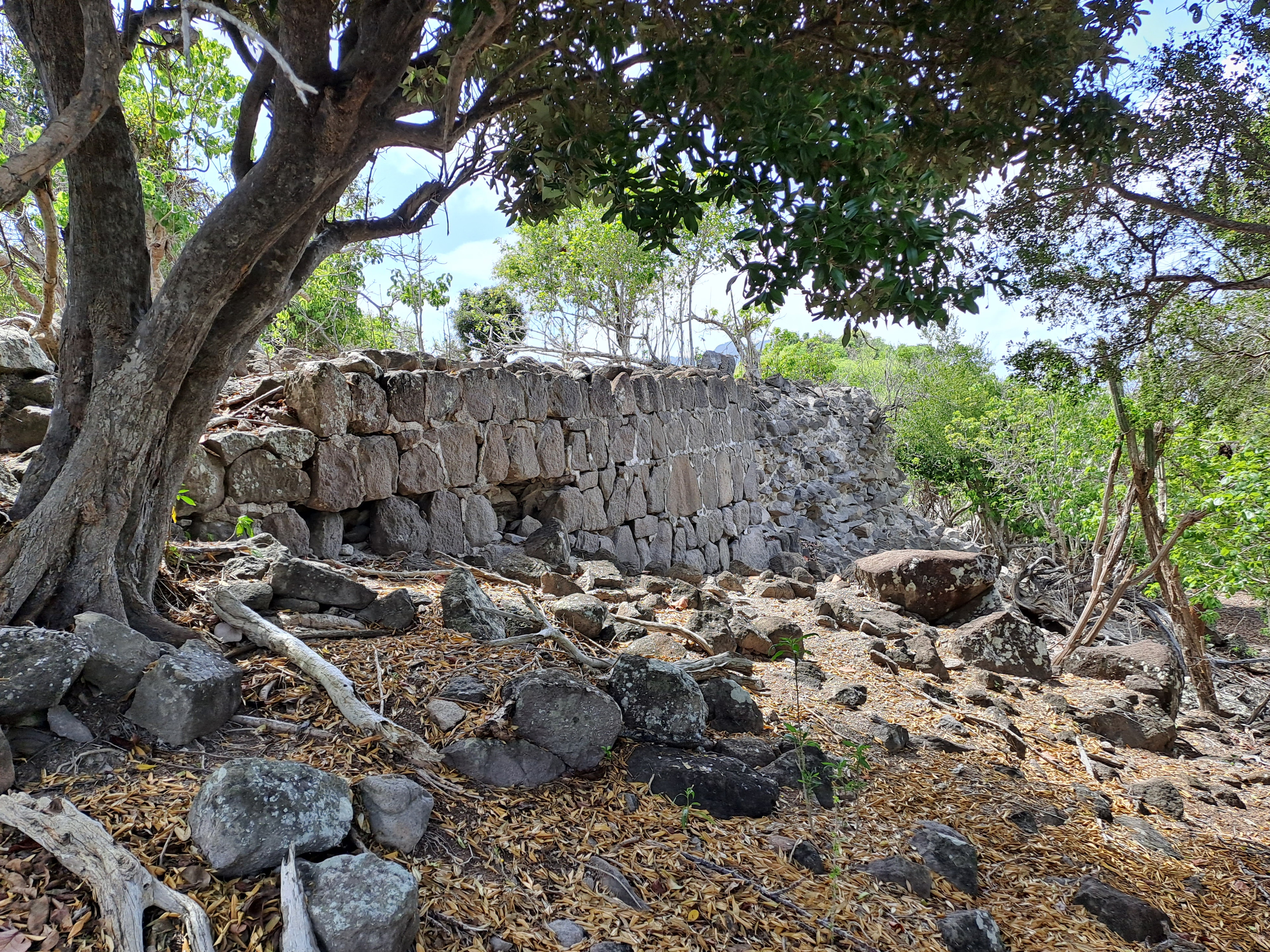
Fort Panga, also called Signal Hill, Signal Post or La Vigie, is a ruined fortification on the Signal Hill hill in Sint Eustatius, on a top of the Horseshoe Mountains. The fort was connected to Battery Jussac by a 220 meter path. It is an officially recognized monument within the Caribbean Netherlands (monument number F06). Jussac, Panga, Royal and Bouillé were built during French rule in the 1780s.
- Category
- Forgotten History
- Location
- Sint Eustatius, Netherlands
- Coordinates
- 17.49547, -62.99022
- How to get there
- Google MapsApple MapsOpenStreetMap
- Wikidata
- Q138500880
What is Fort Panga?
Fort Panga is a Forgotten History place on VeroMaps. Other places close by: Fort Royal, Fort Amsterdam, Battery Bourbon, Fort Oranje.
Where is Fort Panga?
Fort Panga is in Sint Eustatius, Netherlands. Coordinates: 17.49547, -62.99022.
How do I get to Fort Panga?
Fort Panga is at Sint Eustatius, Netherlands (17.49547, -62.99022). Enter these coordinates in Google Maps, Apple Maps or OpenStreetMap for walking, cycling or driving directions.