Forgotten History
Fort Oranje
Sint Eustatius, Netherlands
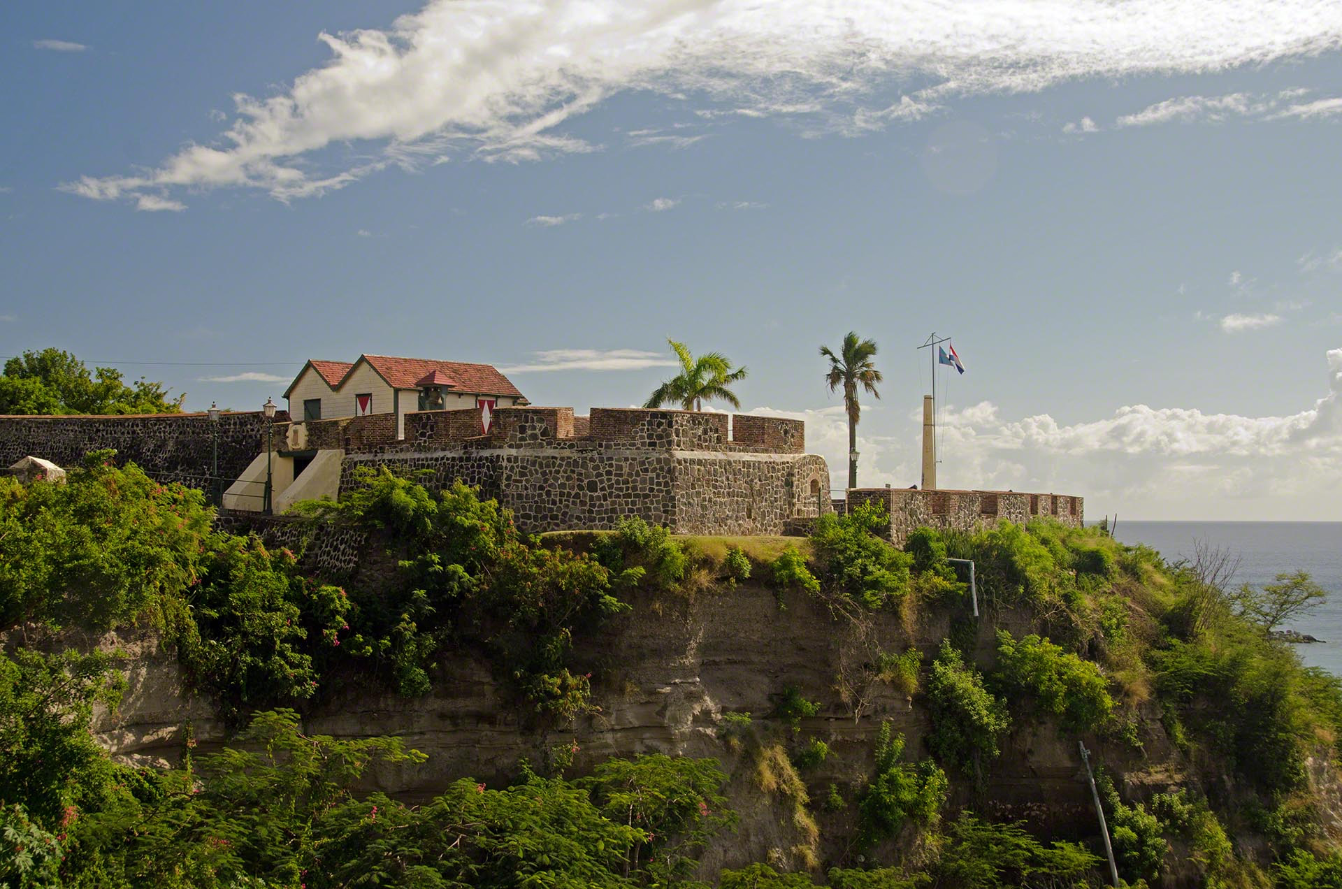
Fort Oranje is a historic fortress located in Sint Eustatius in the Dutch Caribbean. It is located in Oranjestad, the island's capital, on a cliff overlooking Oranje Bay. It was named after the House of Oranje, the royal family of the Netherlands.
- Category
- Forgotten History
- Location
- Sint Eustatius, Netherlands
- Coordinates
- 17.48192, -62.98669
- How to get there
- Google MapsApple MapsOpenStreetMap
- Wikidata
- Q2730234
What is Fort Oranje?
Fort Oranje is a Forgotten History place on VeroMaps. Other places close by: Dutch Reformed Church, Sint Eustatius, Honen Dalim, Bethel Methodistische Kerk in Sint Eustatius, Battery Bourbon.
Where is Fort Oranje?
Fort Oranje is in Sint Eustatius, Netherlands. Coordinates: 17.48192, -62.98669.
How do I get to Fort Oranje?
Fort Oranje is at Sint Eustatius, Netherlands (17.48192, -62.98669). Enter these coordinates in Google Maps, Apple Maps or OpenStreetMap for walking, cycling or driving directions.