Forgotten History
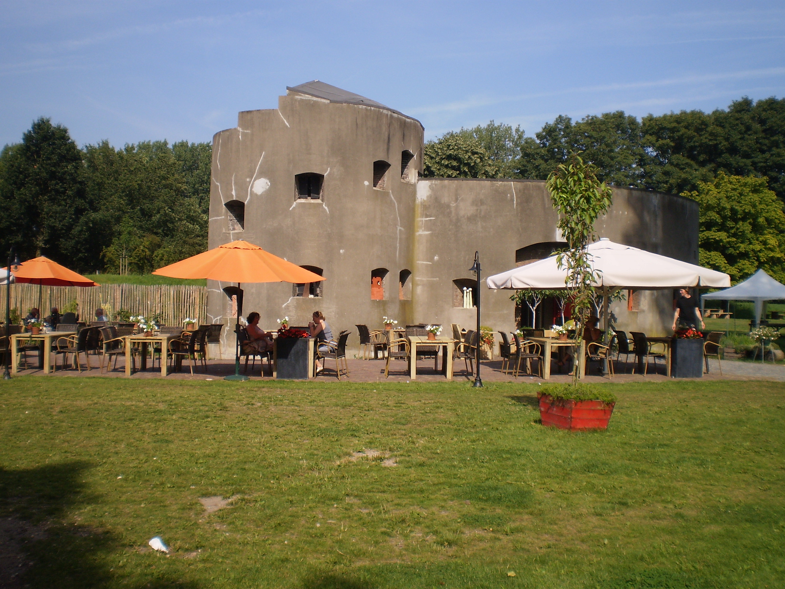
Fort Klop
Utrecht, Netherlands
Fort aan de Klop is a defense structure on the river Vecht in Utrecht. The fort was constructed in 1819. The function of the fort included the protection of the city of Utrecht. It was also part of the New Dutch Waterline.
- Category
- Forgotten History
- Location
- Utrecht, Netherlands
- Coordinates
- 52.11944, 5.08889
- How to get there
- Google MapsApple MapsOpenStreetMap
- Wikidata
- Q18770695
What is Fort Klop?
Fort Klop is a Forgotten History place on VeroMaps. Other places close by: Bethelkerk, Blijde Boodschapkerk, Utrecht, Hervormde kerk (Oud-Zuilen), Fort De Gagel.
Where is Fort Klop?
Fort Klop is in Utrecht, Netherlands. Coordinates: 52.11944, 5.08889.
How do I get to Fort Klop?
Fort Klop is at Utrecht, Netherlands (52.11944, 5.08889). Enter these coordinates in Google Maps, Apple Maps or OpenStreetMap for walking, cycling or driving directions.