Forgotten History
Fort Kijkuit
Wijdemeren, Netherlands
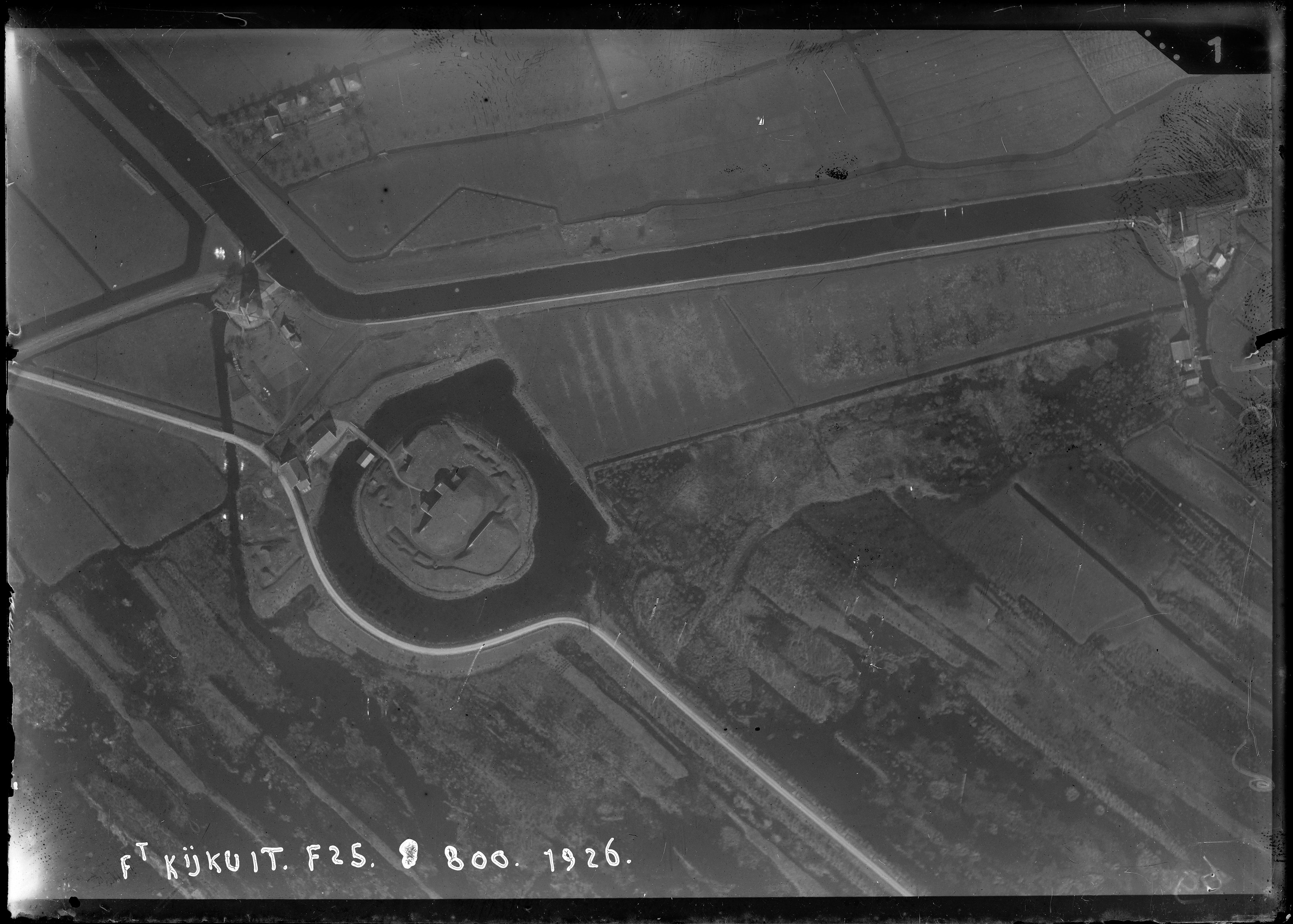
Fort Kijkuit is a fortification of the New Dutch Waterline. The fort was built in 1844 and extensively modified in 1880. It served to close the road between Loosdrecht and Vreeland (the N201) and in the 1930s the adjacent Hilversums Kanaal was added. In 1935 a casemate was added with an armored front, this is rare, only Fort aan de Drecht has something comparable.
- Category
- Forgotten History
- Location
- Wijdemeren, Netherlands
- Coordinates
- 52.23528, 5.05917
- How to get there
- Google MapsApple MapsOpenStreetMap
- Wikidata
- Q18775974
What is Fort Kijkuit?
Fort Kijkuit is a Forgotten History place on VeroMaps. Other places close by: De Ruiter, Hoekermolen, De Nederhorst, De Hoop.
Where is Fort Kijkuit?
Fort Kijkuit is in Wijdemeren, Netherlands. Coordinates: 52.23528, 5.05917.
How do I get to Fort Kijkuit?
Fort Kijkuit is at Wijdemeren, Netherlands (52.23528, 5.05917). Enter these coordinates in Google Maps, Apple Maps or OpenStreetMap for walking, cycling or driving directions.