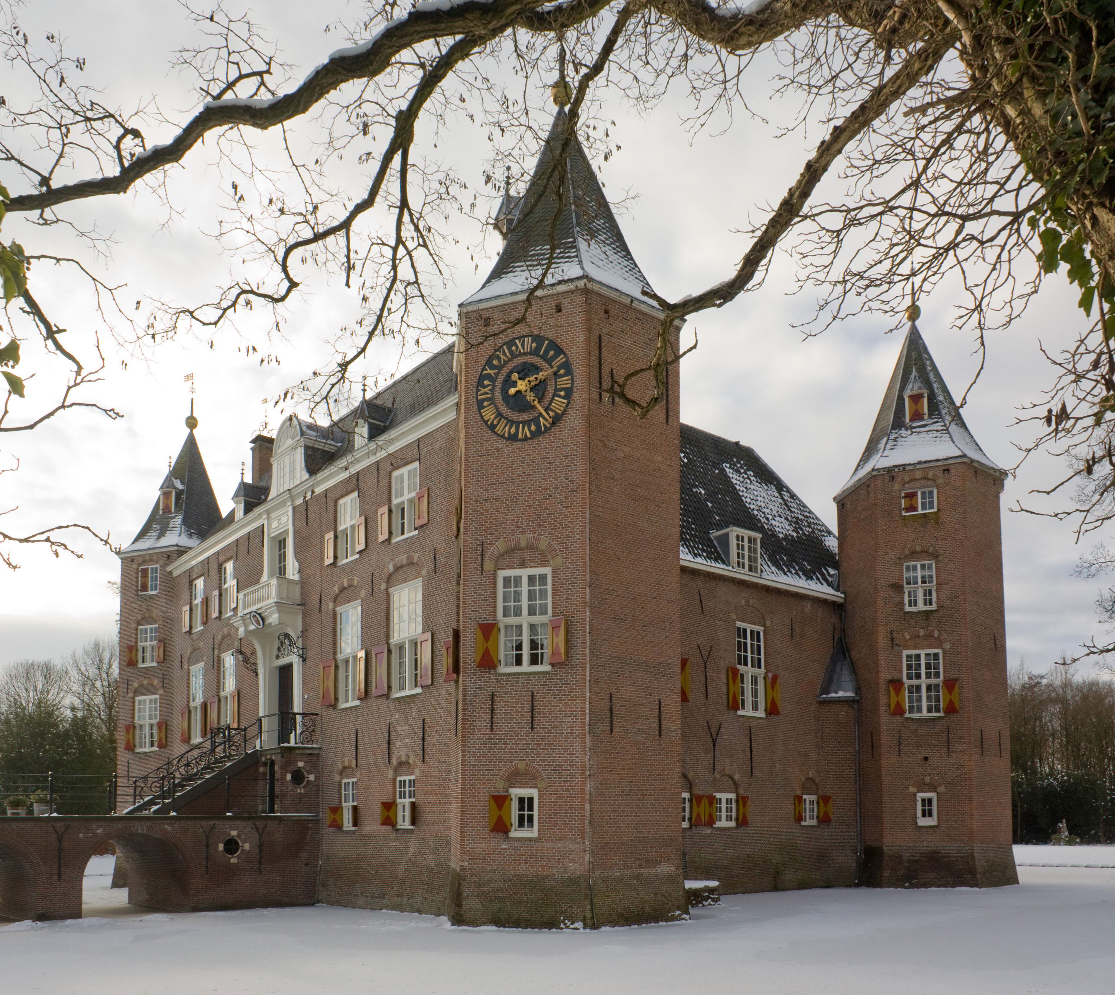
Forgotten History
De Nederhorst
Wijdemeren, Netherlands
Until the border change of 1819, Nederhorst was located in the Utrecht Nedersticht and from 1536 belonged to the recognized knightly manors.
- Category
- Forgotten History
- Location
- Wijdemeren, Netherlands
- Coordinates
- 52.26164, 5.04194
- How to get there
- Google MapsApple MapsOpenStreetMap
- Wikidata
- Q2116800
What is De Nederhorst?
De Nederhorst is a Forgotten History place on VeroMaps. Other places close by: Hoekermolen, Fort bij Nigtevecht, Fort bij Hinderdam, Fort Kijkuit.
Where is De Nederhorst?
De Nederhorst is in Wijdemeren, Netherlands. Coordinates: 52.26164, 5.04194.
How do I get to De Nederhorst?
De Nederhorst is at Wijdemeren, Netherlands (52.26164, 5.04194). Enter these coordinates in Google Maps, Apple Maps or OpenStreetMap for walking, cycling or driving directions.