Forgotten History
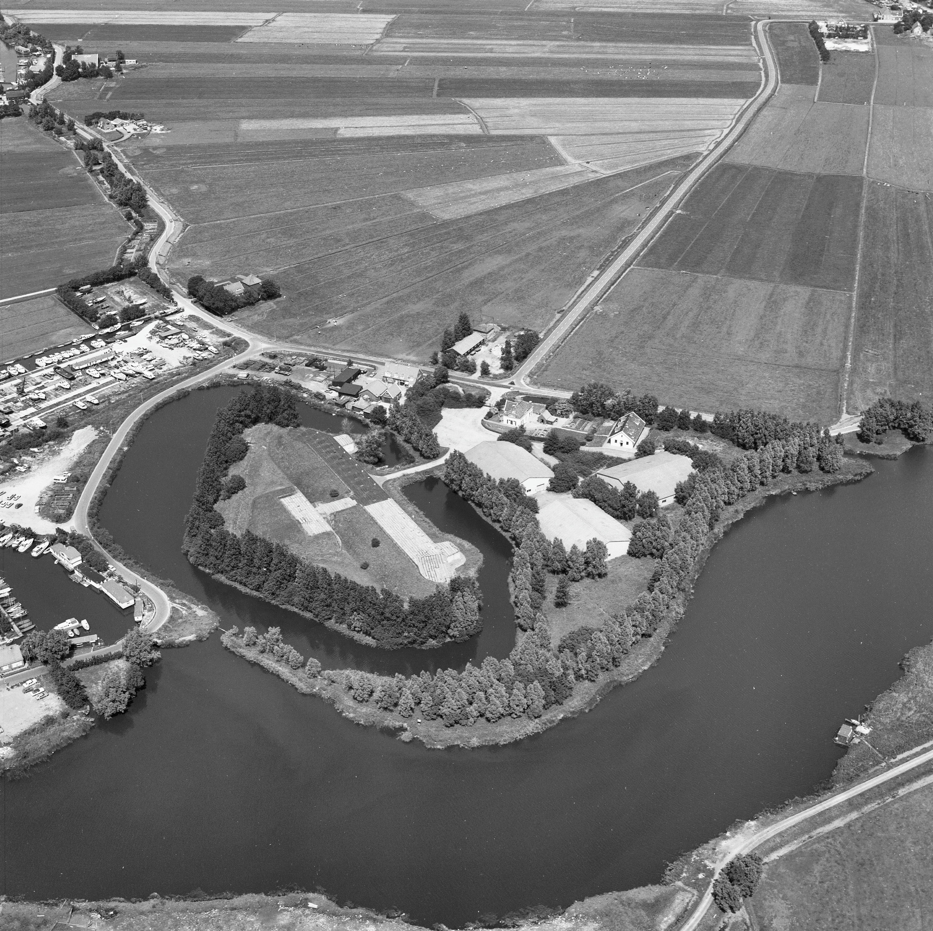
Fort bij Penningsveer
Haarlemmerliede en Spaarnwoude, Netherlands
The Fort at Penningsveer is a fort of the Defense Line of Amsterdam. It is located on the Liede river near the hamlet of Penningsveer, east of Haarlem. Before the Defense Line of Amsterdam was constructed, Amsterdam already had an earlier defense belt. Cornelis Krayenhoff was commissioned in 1799 to design a permanent line around the city to defend Amsterdam using inundations and earthworks.
- Category
- Forgotten History
- Location
- Haarlemmerliede en Spaarnwoude, Netherlands
- Coordinates
- 52.39111, 4.67750
- How to get there
- Google MapsApple MapsOpenStreetMap
- Wikidata
- Q2593984
What is Fort bij Penningsveer?
Fort bij Penningsveer is a Forgotten History place on VeroMaps. Other places close by: De Kleine Veer, Fort bij de Liebrug, De Zoete Inval, Fort aan de Liede.
Where is Fort bij Penningsveer?
Fort bij Penningsveer is in Haarlemmerliede en Spaarnwoude, Netherlands. Coordinates: 52.39111, 4.67750.
How do I get to Fort bij Penningsveer?
Fort bij Penningsveer is at Haarlemmerliede en Spaarnwoude, Netherlands (52.39111, 4.67750). Enter these coordinates in Google Maps, Apple Maps or OpenStreetMap for walking, cycling or driving directions.