Forgotten History
Vestekerk
Haarlem, Netherlands
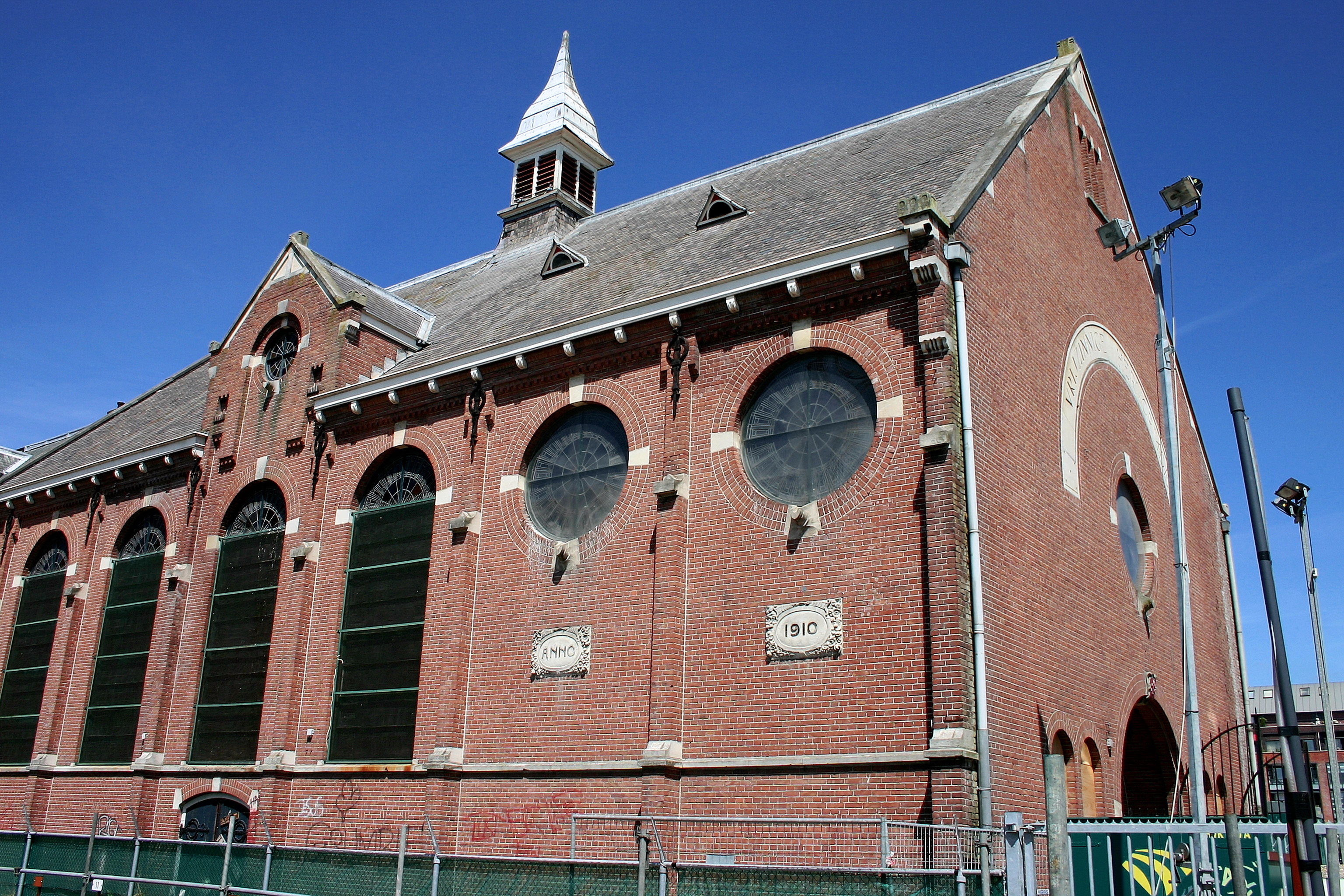
De Vestekerk is een voormalig kerkgebouw in het centrum van Haarlem aan de Twaalf Apostelenstraat en de Gedempte Voldersgracht. De kerk werd in 1910 in gebruik genomen als vrijzinnig hervormde kerk. In 1958 werd de naam gewijzigd in Jacobskerk. De kerk staat ook bekend als de Wijnkerk en wordt sinds 2010 de Jopenkerk genoemd.
- Category
- Forgotten History
- Location
- Haarlem, Netherlands
- Address
- Gedempte Voldersgracht 2, Haarlem
- Coordinates
- 52.38122, 4.62977
- How to get there
- Google MapsApple MapsOpenStreetMap
- Wikidata
- Q2275399
What is Vestekerk?
Vestekerk is a Forgotten History place on VeroMaps, on Gedempte Voldersgracht 2. Other places close by: Haarlem central public library, Remonstrantse Kerk, Jacobijnestraat 15, Haarlem, Lutherse Kerk.
Where is Vestekerk?
Vestekerk is in Haarlem, Netherlands. Coordinates: 52.38122, 4.62977.
How do I get to Vestekerk?
Vestekerk is at Gedempte Voldersgracht 2, Haarlem, Netherlands (52.38122, 4.62977). Enter these coordinates in Google Maps, Apple Maps or OpenStreetMap for walking, cycling or driving directions.