Forgotten History
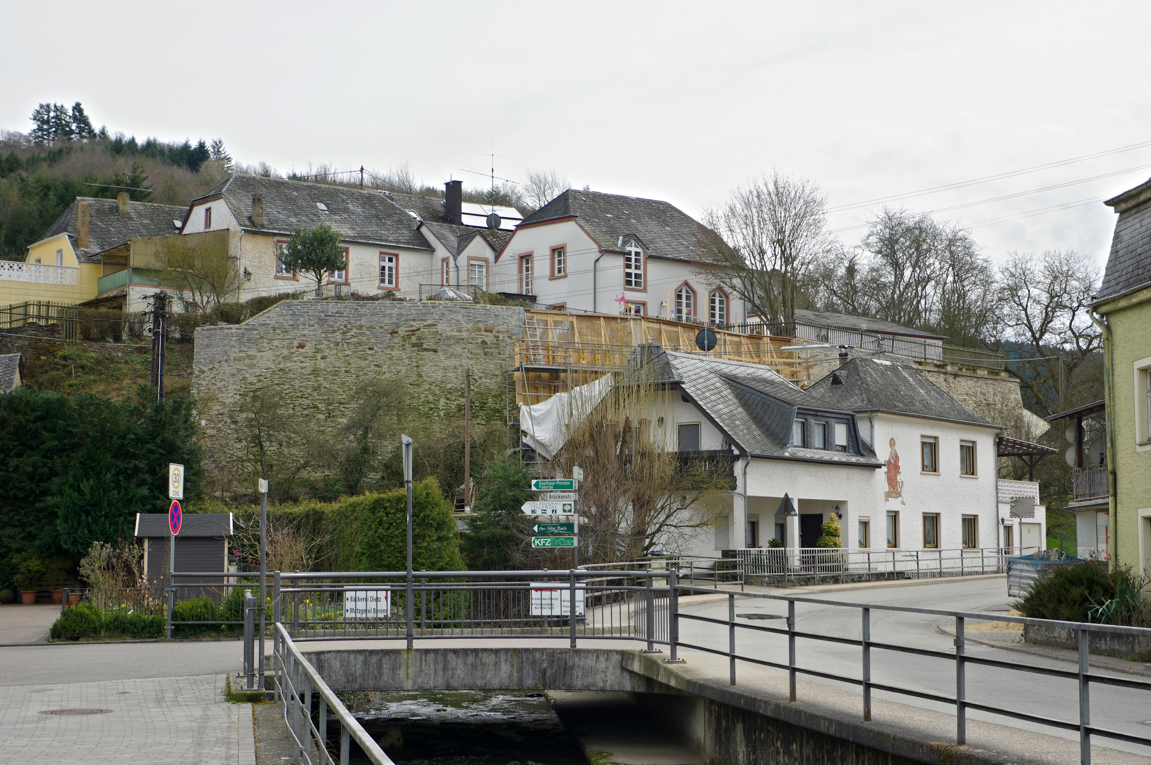
Feller Maximiner Burg
Fell, Germany
The Feller Maximiner Burg, actually Maximiner Burg, is a former castle complex in the Oberfell district of the municipality of Fell (Burgstraße 2–9) in the Trier-Saarburg district in Rhineland-Palatinate. It was once the seat of the County of Fell with the Fell High Court. These included the village and court courts of Oberfell and Niederfell, Feller Berg, Lörsch, Fastrau, Riol, Longuich, Kirsch, Issel, Kenn, Lorscheid, Meirath, Welschrath and Herl. The Maximin Castle was built by the Abbey of St. Maximin, and in 1333 there were extensions and renovations and the foundation of the St. Margarethe Chapel.
- Category
- Forgotten History
- Location
- Fell, Germany
- Coordinates
- 49.76990, 6.78445
- How to get there
- Google MapsApple MapsOpenStreetMap
- Wikidata
- Q1381874
What is Feller Maximiner Burg?
Feller Maximiner Burg is a Forgotten History place on VeroMaps. Other places close by: Fell Exhibition Slate Mine, Hinkelstein bei Thomm, Burg Longuich, Schloss Marienlay.
Where is Feller Maximiner Burg?
Feller Maximiner Burg is in Fell, Germany. Coordinates: 49.76990, 6.78445.
How do I get to Feller Maximiner Burg?
Feller Maximiner Burg is at Fell, Germany (49.76990, 6.78445). Enter these coordinates in Google Maps, Apple Maps or OpenStreetMap for walking, cycling or driving directions.