Forgotten History
Electoral Palace
Trier, Germany
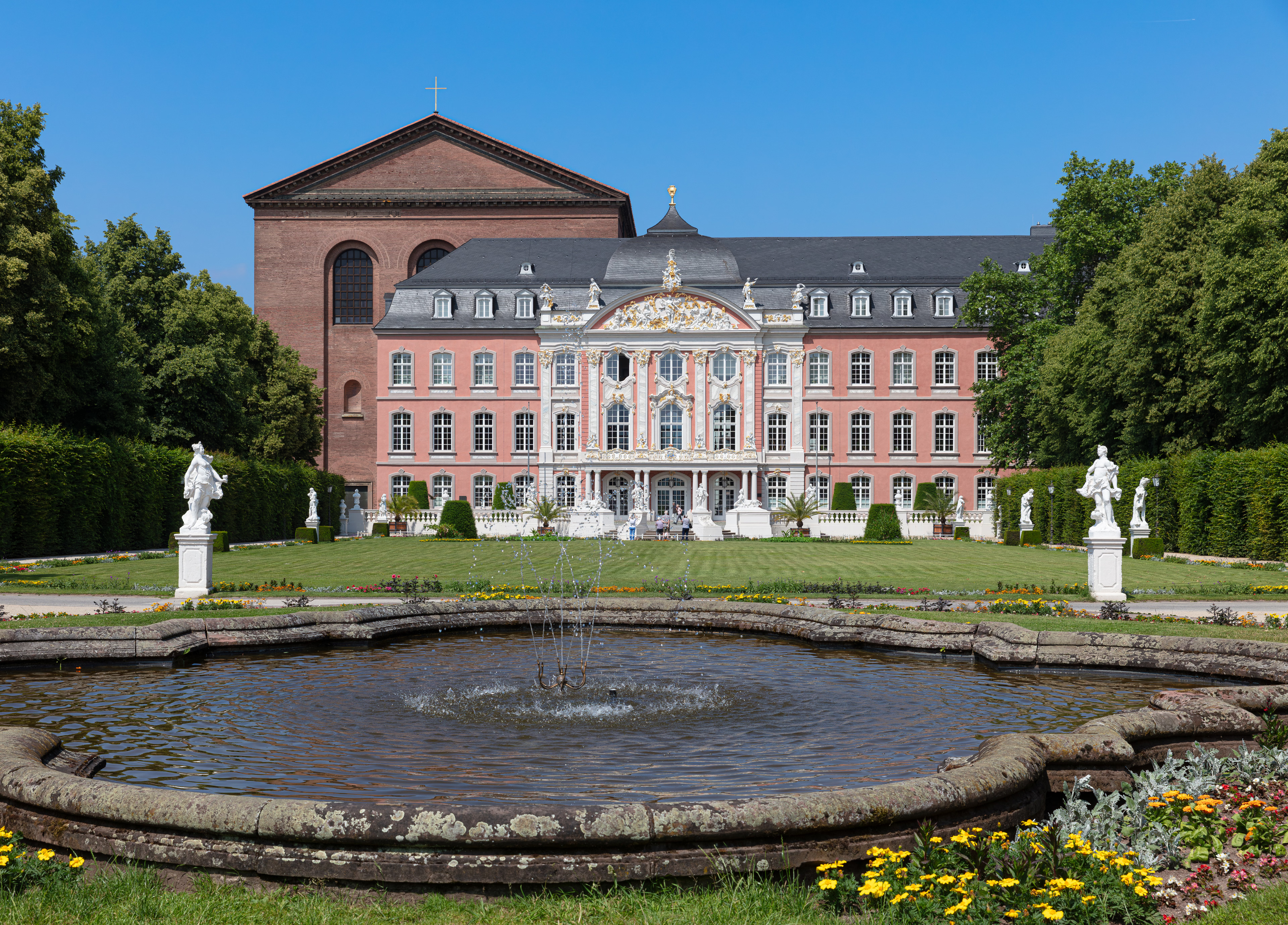
The Electoral Palace (German: Kurfürstliches Palais) in Trier, Germany, was the residence of the Archbishops and Electors of Trier from the 16th century until the late 18th century. It now houses various offices of the federal government and often hosts classical music concerts.
- Category
- Forgotten History
- Location
- Trier, Germany
- Address
- Willy-Brandt-Platz 3, Trier
- Coordinates
- 49.75310, 6.64361
- How to get there
- Google MapsApple MapsOpenStreetMap
- Wikidata
- Q316766
What is Electoral Palace?
Electoral Palace is a Forgotten History place on VeroMaps, on Willy-Brandt-Platz 3. Other places close by: Georgsbrunnen, Turm Jerusalem, Frankenturm, Balduinbrunnen.
Where is Electoral Palace?
Electoral Palace is in Trier, Germany. Coordinates: 49.75310, 6.64361.
How do I get to Electoral Palace?
Electoral Palace is at Willy-Brandt-Platz 3, Trier, Germany (49.75310, 6.64361). Enter these coordinates in Google Maps, Apple Maps or OpenStreetMap for walking, cycling or driving directions.