Photo corners
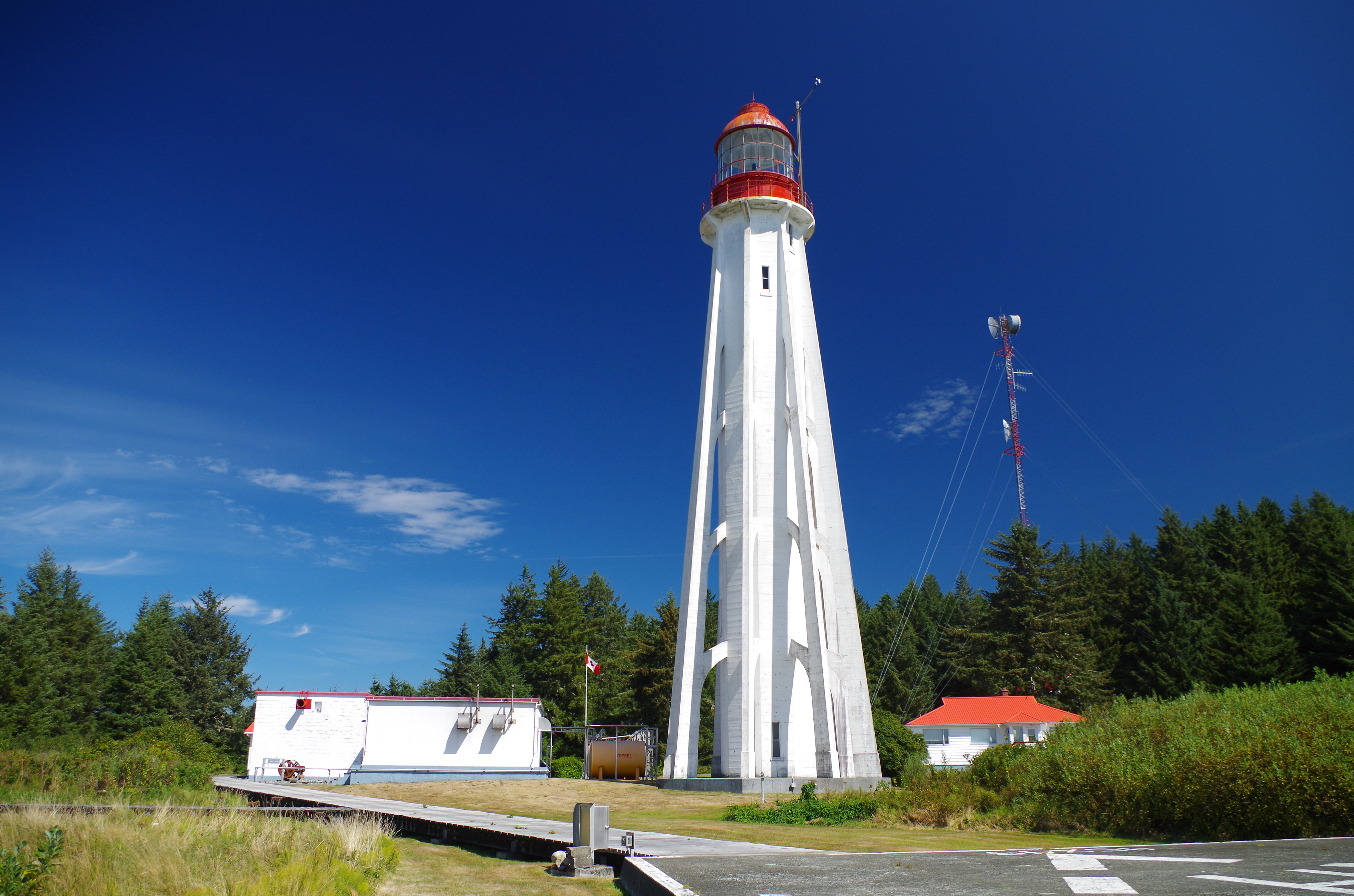
Estevan Point lighthouse
Alberni-Clayoquot Regional District, Canada
Estevan Point Lighthouse is located on the headland of the same name in the Hesquiat Peninsula Provincial Park on the west coast of Vancouver Island, Canada. During the Second World War, in 1942, the Estevan Point Lighthouse was fired upon by the Japanese submarine I-26, marking the first enemy attack on Canadian soil since the Fenian raids of 1866 and 1871. The Canadian Coast Guard still maintains Estevan Point, with the light still active as of 2022. The light emits a double flash every 15 seconds with the focal plane located at 37.5 m (123 ft) above sea level.
- Category
- Photo Spots
- Location
- Alberni-Clayoquot Regional District, Canada
- Coordinates
- 49.38297, -126.54403
- How to get there
- Google MapsApple MapsOpenStreetMap
- Wikidata
- Q2856097
What is Estevan Point lighthouse?
Estevan Point lighthouse is a Photo Spots place on VeroMaps.
Where is Estevan Point lighthouse?
Estevan Point lighthouse is in Alberni-Clayoquot Regional District, Canada. Coordinates: 49.38297, -126.54403.
How do I get to Estevan Point lighthouse?
Estevan Point lighthouse is at Alberni-Clayoquot Regional District, Canada (49.38297, -126.54403). Enter these coordinates in Google Maps, Apple Maps or OpenStreetMap for walking, cycling or driving directions.