Photo corners
Cattle Point Light
San Juan Island, United States
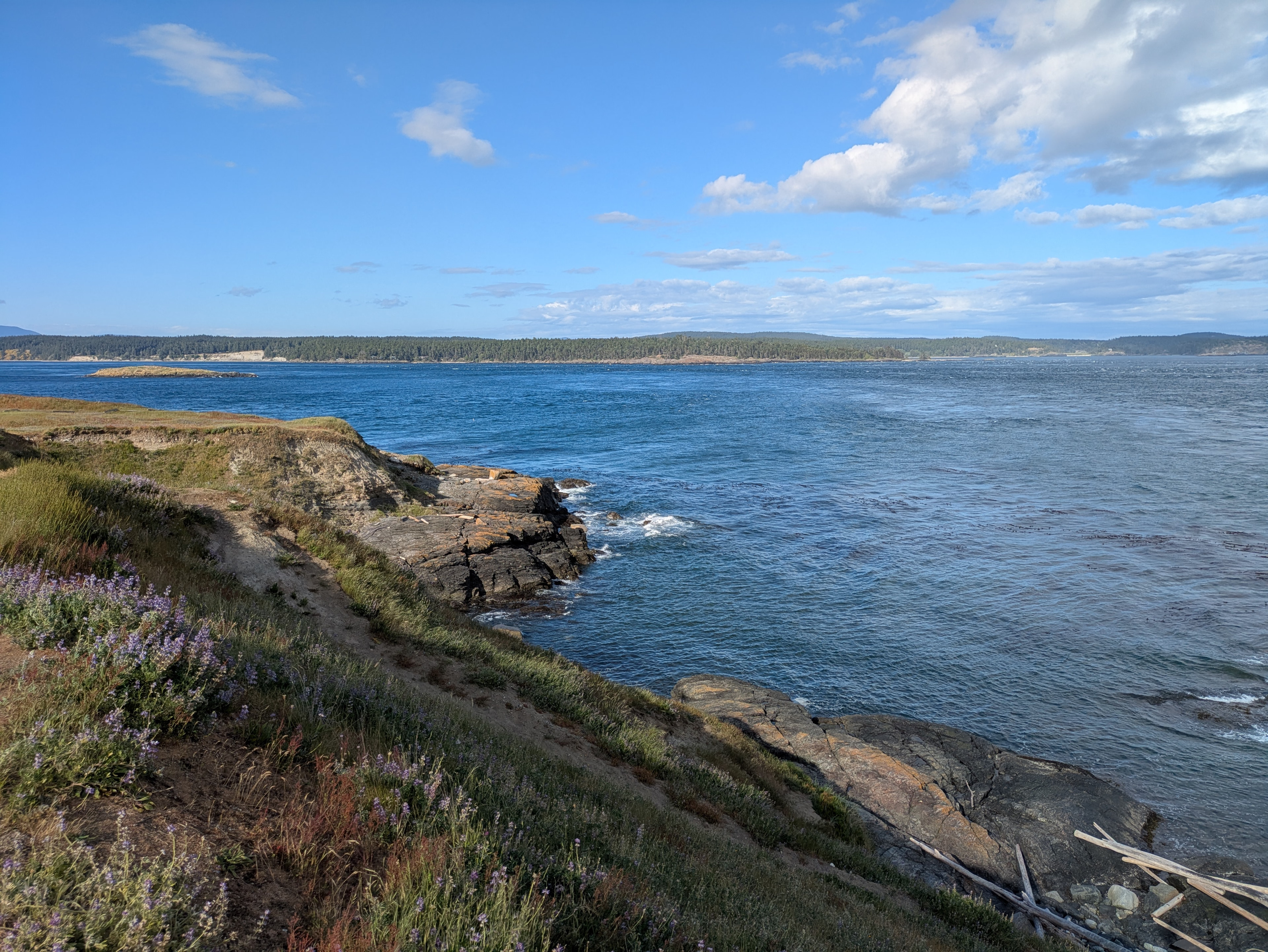
Cattle Point Lighthouse is a lighthouse on the southeastern tip of San Juan Island overlooking the Strait of Juan de Fuca where the Haro Straits meet the San Juan Channel, in San Juan County, Washington. The light lies adjacent to the state's Cattle Point Natural Resources Conservation Area and, since 2013, is part of the San Juan Islands National Monument.
- Category
- Photo Spots
- Location
- San Juan Island, United States
- Coordinates
- 48.45060, -122.96330
- How to get there
- Google MapsApple MapsOpenStreetMap
- Wikidata
- Q2291667
What is Cattle Point Light?
Cattle Point Light is a Photo Spots place on VeroMaps. Other places close by: Burrows Island Light, Fisgard Lighthouse, Admiralty Head Light, Leopold Hotel.
Where is Cattle Point Light?
Cattle Point Light is in San Juan Island, United States. Coordinates: 48.45060, -122.96330.
How do I get to Cattle Point Light?
Cattle Point Light is at San Juan Island, United States (48.45060, -122.96330). Enter these coordinates in Google Maps, Apple Maps or OpenStreetMap for walking, cycling or driving directions.