Urbex & Abandoned
Dolbury
United Kingdom
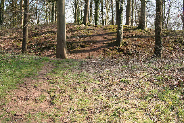
Dolbury is another local name for the Iron Age hill fort or enclosure at Killerton Park in Devon, England. It is referred to as such in several books and websites on Iron Age sites.
- Category
- Urbex & Abandoned
- Location
- United Kingdom
- Coordinates
- 50.79400, -3.46400
- How to get there
- Google MapsApple MapsOpenStreetMap
- Wikidata
- Q5288888
What is Dolbury?
Dolbury is a Urbex & Abandoned place on VeroMaps. Other places close by: Killerton, Bickleigh Castle, The Fisherman's Cot, George's Chapel, Exeter.
Where is Dolbury?
Dolbury is in United Kingdom. Coordinates: 50.79400, -3.46400.
How do I get to Dolbury?
Dolbury is at United Kingdom (50.79400, -3.46400). Enter these coordinates in Google Maps, Apple Maps or OpenStreetMap for walking, cycling or driving directions.