Forgotten History
Dale Castle
Dale, United Kingdom
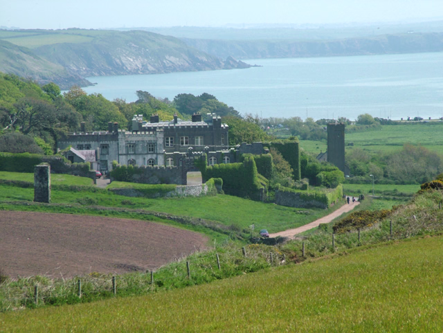
Dale Castle is a 13th-century castle located close to the village of Dale in Pembrokeshire, Wales. In 1910, part of the castle was removed and other parts were incorporated into a new private dwelling house, built in the style of a fortified manor house.
- Category
- Forgotten History
- Location
- Dale, United Kingdom
- Coordinates
- 51.70807, -5.17827
- How to get there
- Google MapsApple MapsOpenStreetMap
- Wikidata
- Q2969104
What is Dale Castle?
Dale Castle is a Forgotten History place on VeroMaps. Other places close by: Great Castle Head Light, Thorne Island, Little Castle Head Light, Skokholm Lighthouse.
Where is Dale Castle?
Dale Castle is in Dale, United Kingdom. Coordinates: 51.70807, -5.17827.
How do I get to Dale Castle?
Dale Castle is at Dale, United Kingdom (51.70807, -5.17827). Enter these coordinates in Google Maps, Apple Maps or OpenStreetMap for walking, cycling or driving directions.