Forgotten History
Laugharne Castle
Saint Clears, United Kingdom
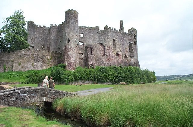
Laugharne Castle (Welsh: Castell Talacharn) is in Laugharne, Carmarthenshire, Wales. The castle, located on the estuary of the River Tâf, was originally established in 1116. It was rebuilt as a Norman stronghold. There have been many alterations since then, including becoming a Tudor fortified manor house in the sixteenth century. It changed hands twice during the English Civil War, being eventually captured by Parliamentary forces in 1644.
- Category
- Forgotten History
- Location
- Saint Clears, United Kingdom
- Coordinates
- 51.76960, -4.46205
- How to get there
- Google MapsApple MapsOpenStreetMap
- Wikidata
- Q911714
What is Laugharne Castle?
Laugharne Castle is a Forgotten History place on VeroMaps. Other places close by: Llansteffan Castle, Maen Llwyd, Kidwelly Castle, Court Farm, Pembrey.
Where is Laugharne Castle?
Laugharne Castle is in Saint Clears, United Kingdom. Coordinates: 51.76960, -4.46205.
How do I get to Laugharne Castle?
Laugharne Castle is at Saint Clears, United Kingdom (51.76960, -4.46205). Enter these coordinates in Google Maps, Apple Maps or OpenStreetMap for walking, cycling or driving directions.