Urbex & Abandoned
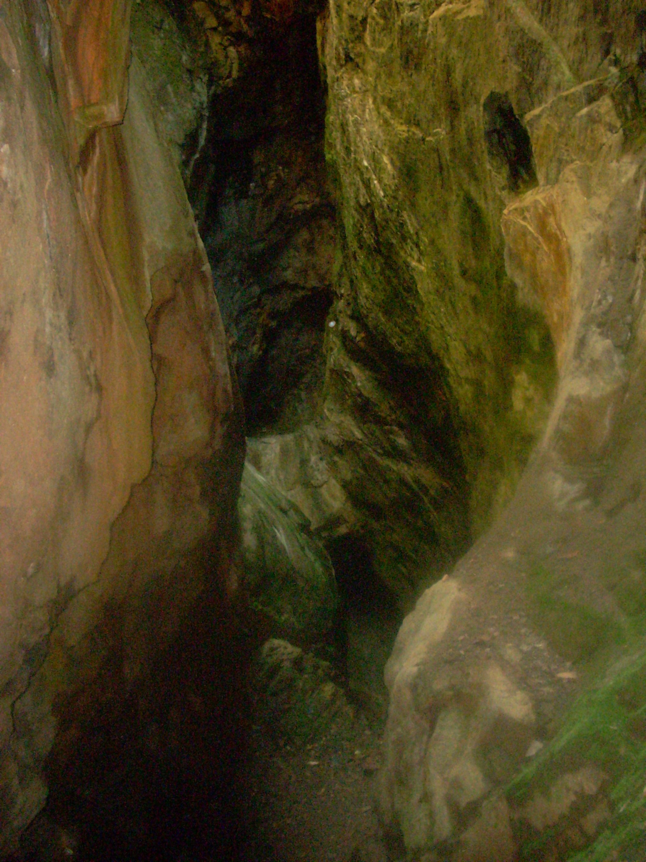
Consolidated Gold Mine
Georgia, United States
The Consolidated Mine was a gold mine in Lumpkin County, Georgia, United States, just east of Dahlonega. Like most of the area around Dahlonega, the placer mining on the land on which the mine is located probably started during the Georgia Gold Rush. By 1880, the placer deposits were exhausted and the land was down to hard rock.
- Category
- Urbex & Abandoned
- Location
- Georgia, United States
- Coordinates
- 34.53833, -83.97000
- How to get there
- Google MapsApple MapsOpenStreetMap
- Wikidata
- Q5163285
What is Consolidated Gold Mine?
Consolidated Gold Mine is a Urbex & Abandoned place on VeroMaps. Other places close by: Calhoun Mine, Walasi-Yi Interpretive Center, Franklin-Creighton Mine, Fred Hamilton Rhododendron Garden.
Where is Consolidated Gold Mine?
Consolidated Gold Mine is in Georgia, United States. Coordinates: 34.53833, -83.97000.
How do I get to Consolidated Gold Mine?
Consolidated Gold Mine is at Georgia, United States (34.53833, -83.97000). Enter these coordinates in Google Maps, Apple Maps or OpenStreetMap for walking, cycling or driving directions.