Urbex & Abandoned
Calhoun Mine
Georgia, United States
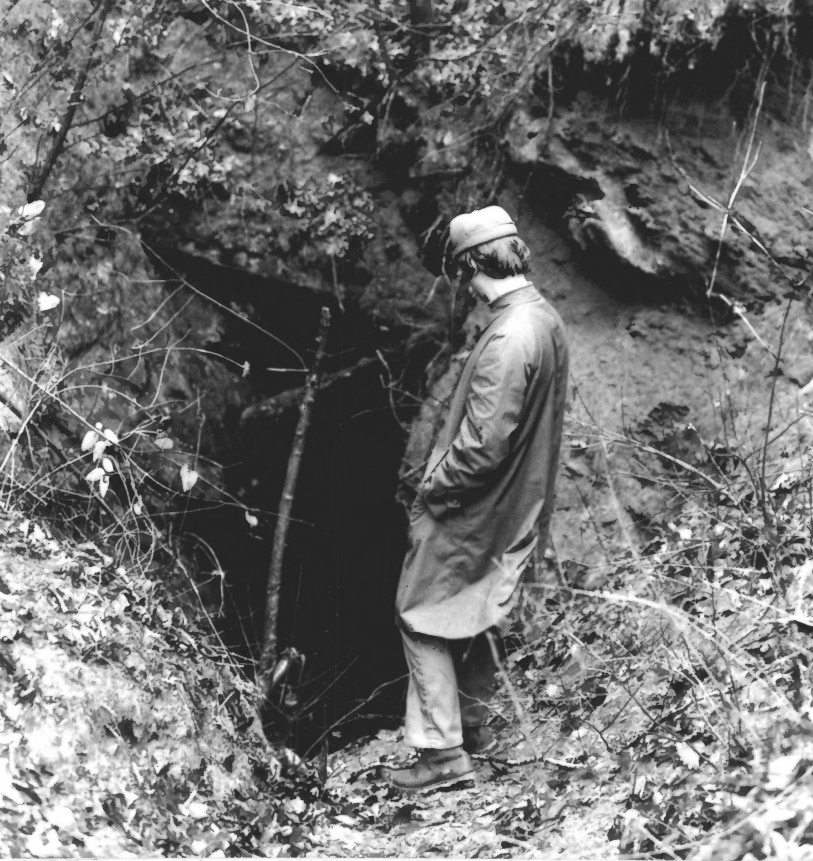
The Calhoun Mine is perhaps the oldest and best-known mine in Lumpkin County, Georgia. When gold was discovered in Lumpkin County in 1828, which led to the Georgia Gold Rush in 1829, it was discovered on 239 acres (0. 97 km2) owned by Robert Obar. After at least two intermediary sales, the land was purchased by Senator John C.
- Category
- Urbex & Abandoned
- Location
- Georgia, United States
- Coordinates
- 34.49204, -83.98213
- How to get there
- Google MapsApple MapsOpenStreetMap
- Wikidata
- Q5019785
What is Calhoun Mine?
Calhoun Mine is a Urbex & Abandoned place on VeroMaps. Other places close by: Consolidated Gold Mine, Walasi-Yi Interpretive Center, Franklin-Creighton Mine, Fred Hamilton Rhododendron Garden.
Where is Calhoun Mine?
Calhoun Mine is in Georgia, United States. Coordinates: 34.49204, -83.98213.
How do I get to Calhoun Mine?
Calhoun Mine is at Georgia, United States (34.49204, -83.98213). Enter these coordinates in Google Maps, Apple Maps or OpenStreetMap for walking, cycling or driving directions.