Urbex & Abandoned
Congress
Yavapai County, United States
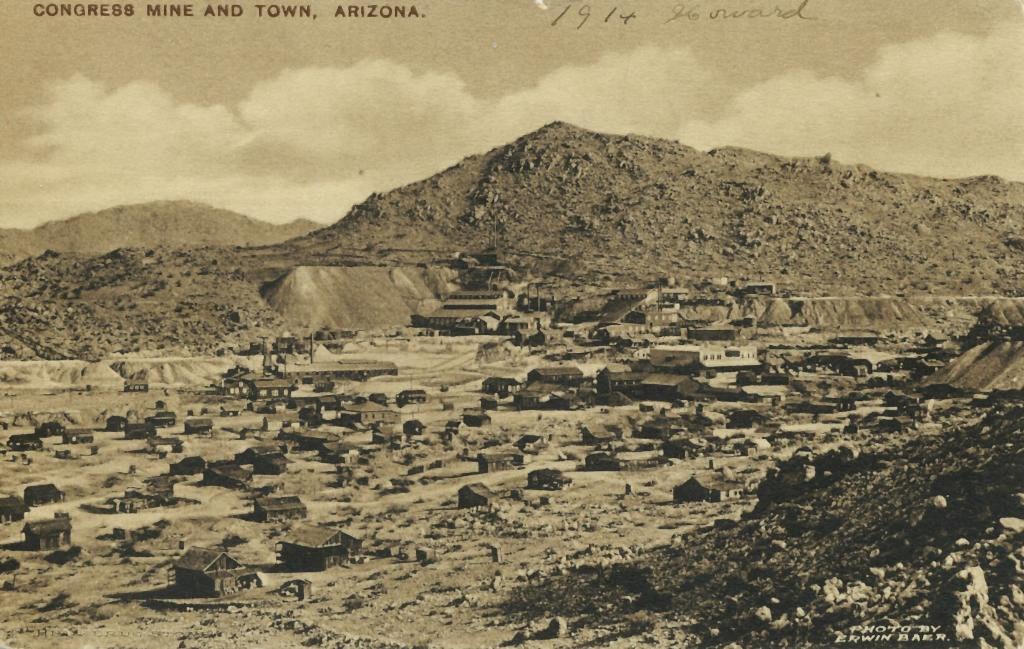
Congress (aka Old Congress) is a census-designated place (CDP) in Yavapai County, Arizona, United States. Once a gold-mining center for the Congress Mine and then a ghost town, Congress serves as a retirement and bedroom community for nearby Wickenburg. The population was 1,811 at the 2020 census.
- Category
- Urbex & Abandoned
- Location
- Yavapai County, United States
- Coordinates
- 34.14610, -112.84700
- How to get there
- Google MapsApple MapsOpenStreetMap
- Wikidata
- Q2096052
What is Congress?
Congress is a Urbex & Abandoned place on VeroMaps. Other places close by: Congress Mine, The Palace Restaurant and Saloon, Bagdad mine, Glendale beet sugar factory.
Where is Congress?
Congress is in Yavapai County, United States. Coordinates: 34.14610, -112.84700.
How do I get to Congress?
Congress is at Yavapai County, United States (34.14610, -112.84700). Enter these coordinates in Google Maps, Apple Maps or OpenStreetMap for walking, cycling or driving directions.