Urbex & Abandoned
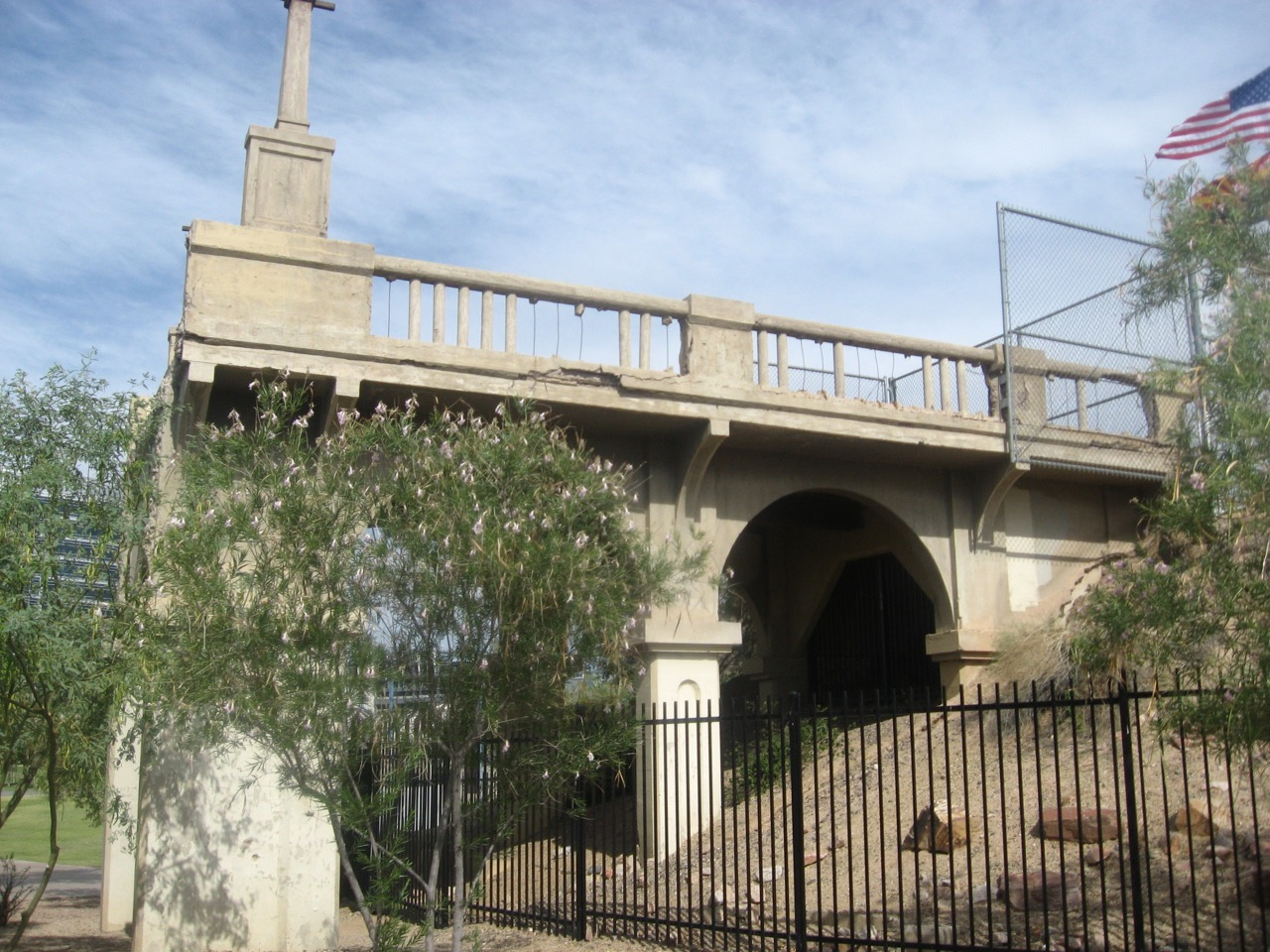
Ash Avenue Bridge
Tempe, United States
The Ash Avenue Bridge is a demolished road bridge in Tempe, Arizona, U. S, which formerly crossed the Salt River. The concrete open-spandrel rib arch bridge opened in 1913, using multiple advanced technologies in its design and representing a significant advance in Arizona's transportation system.
- Category
- Urbex & Abandoned
- Location
- Tempe, United States
- Coordinates
- 33.43109, -111.94246
- How to get there
- Google MapsApple MapsOpenStreetMap
- Wikidata
- Q108822663
What is Ash Avenue Bridge?
Ash Avenue Bridge is a Urbex & Abandoned place on VeroMaps. Other places close by: Arboretum at Arizona State University, Desert Botanical Garden, Tovrea Castle, Pizzeria Bianco.
Where is Ash Avenue Bridge?
Ash Avenue Bridge is in Tempe, United States. Coordinates: 33.43109, -111.94246.
How do I get to Ash Avenue Bridge?
Ash Avenue Bridge is at Tempe, United States (33.43109, -111.94246). Enter these coordinates in Google Maps, Apple Maps or OpenStreetMap for walking, cycling or driving directions.