Urbex & Abandoned
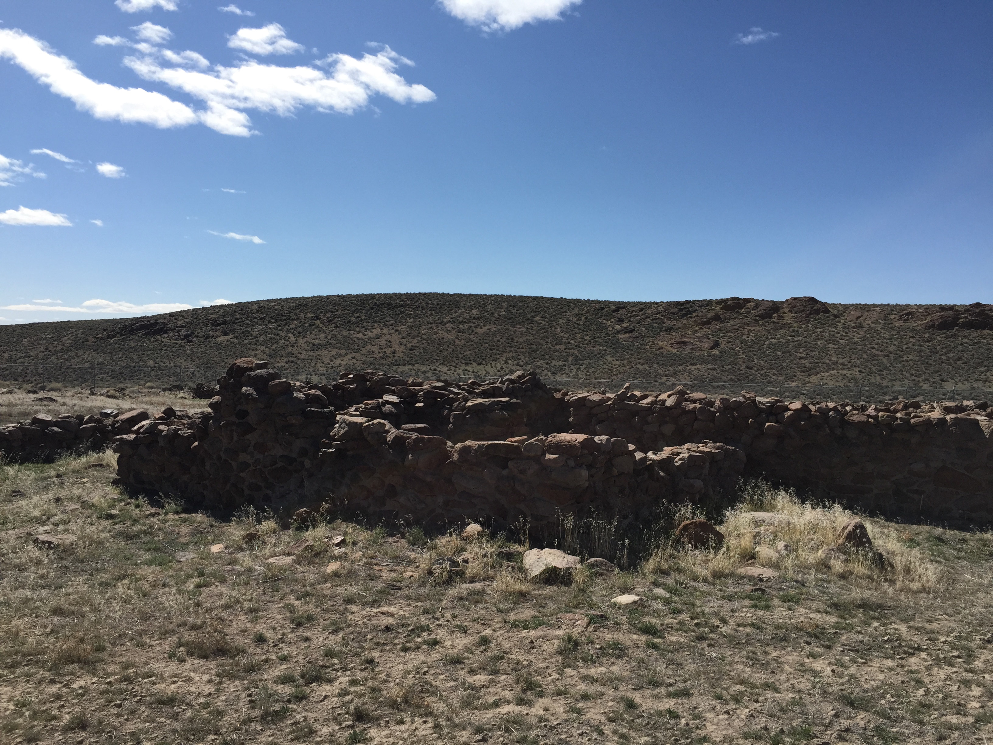
Cold Springs Pony Express Station Ruins
Churchill County, United States
Cold Springs Pony Express Station Ruins, in Churchill County, Nevada near Frenchman, are the ruins of a Pony Express station built in 1860 or 1861. The ruins were listed as a 9.9-acre (4.0 ha) historic site on the National Register of Historic Places in 1972. In May 1860 the station keeper was killed, the station burned and the stock driven off. Robert Haslam was the rider who discovered the body during what is credited to be the longest round trip ride of the Pony Express.
- Category
- Urbex & Abandoned
- Location
- Churchill County, United States
- Coordinates
- 39.39025, -117.85449
- How to get there
- Google MapsApple MapsOpenStreetMap
- Wikidata
- Q15211177
What is Cold Springs Pony Express Station Ruins?
Cold Springs Pony Express Station Ruins is a Urbex & Abandoned place on VeroMaps. Other places close by: Anaconda Copper Mine, Cortez Gold Mine.
Where is Cold Springs Pony Express Station Ruins?
Cold Springs Pony Express Station Ruins is in Churchill County, United States. Coordinates: 39.39025, -117.85449.
How do I get to Cold Springs Pony Express Station Ruins?
Cold Springs Pony Express Station Ruins is at Churchill County, United States (39.39025, -117.85449). Enter these coordinates in Google Maps, Apple Maps or OpenStreetMap for walking, cycling or driving directions.