Photo corners
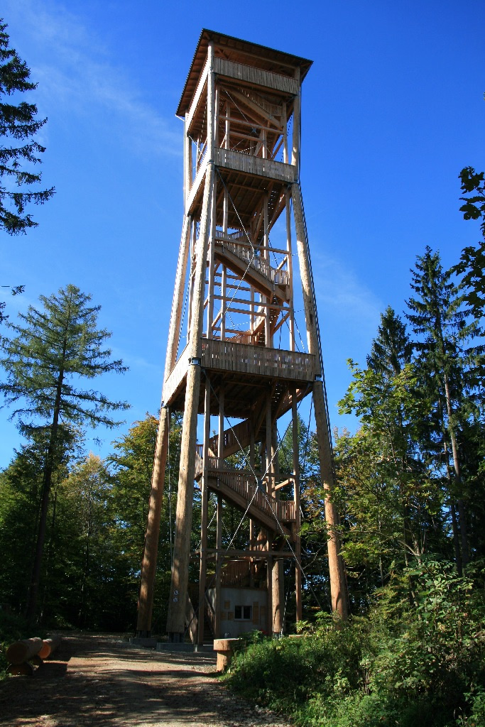
Chutzenturm
Seedorf, Switzerland
The Chutzen (or Chutze; 820 m) is a wooded hill of the Swiss Plateau, located halfway between Lake Biel and Bern. It lies south of the village of Frienisberg and belongs to the municipality of Seedorf. On the summit lies a 45-metre-high wooden tower, the Chutzenturm, which opened in June 2010.
- Category
- Photo Spots
- Location
- Seedorf, Switzerland
- Coordinates
- 47.01485, 7.32392
- How to get there
- Google MapsApple MapsOpenStreetMap
- Wikidata
- Q1090058
What is Chutzenturm?
Chutzenturm is a Photo Spots place on VeroMaps. Other places close by: Wohleibrügg, Kappelenbrücke, Lysser Aussichtsturm, Halen Bridge.
Where is Chutzenturm?
Chutzenturm is in Seedorf, Switzerland. Coordinates: 47.01485, 7.32392.
How do I get to Chutzenturm?
Chutzenturm is at Seedorf, Switzerland (47.01485, 7.32392). Enter these coordinates in Google Maps, Apple Maps or OpenStreetMap for walking, cycling or driving directions.